
Section 10
Sarria to Santiago

The final 115 kilometres from Sarria to Santiago undulate gently through chestnut and eucalyptus forests, crossing streams, passing old roadside crosses, and winding through tiny Galician villages where time seems to have paused, and cows often have more right to the road than you do. Some days it feels more like walking in Ireland or Scotland than in Spain. In this last stretch, you might feast on octopus, discover ancient Celtic forts at sunrise, sample traditional Galician cheese, and finally catch your first glimpse of the cathedral’s spires from the Mount of Joy.
From here, it also gets super busy, with loads of new pilgrims starting in Sarria, and the whole atmosphere shifts, not in a bad way or a good way; it’s just a different energy as you share the path with so many new people. There is a real buzz in the air as Santiago draws closer. The towns get bigger, the kilometre markers seem to fall faster, and something shifts in your stride as you make that final push towards the city and the cathedral.
In these last 100 km, I always prefer to stay in the small hamlets between the busier towns rather than in the towns themselves. They offer you a bit of space and time to reflect before arriving in Santiago, and when you set off early in the morning, most of the crowds are either ahead of you or still behind you, so the trail is quieter. Some of my favourite albergues on the entire Camino are tucked away in these little hamlets. They’re often family-run places full of character, many run by former pilgrims who couldn’t bring themselves to leave the Camino behind. I’ll be pointing out plenty of them along the way. But if you think the busyness will get too much for you, you can always avoid this final stretch by finishing in Santiago via the Camino Invierno instead. I’ve included a guide later in the book showing how to make the switch just after Samos.

Sarria
115 km (71 miles) to Santiago
If you are starting in Sarria, you can easily get there by bus from Santiago. Just head to Santiago’s main bus station, where Monbus operates a daily service at 11 am. The journey takes just over two hours and costs around €11. You can book your ticket online. The bus follows the Camino route, stopping in all the little towns along the way.
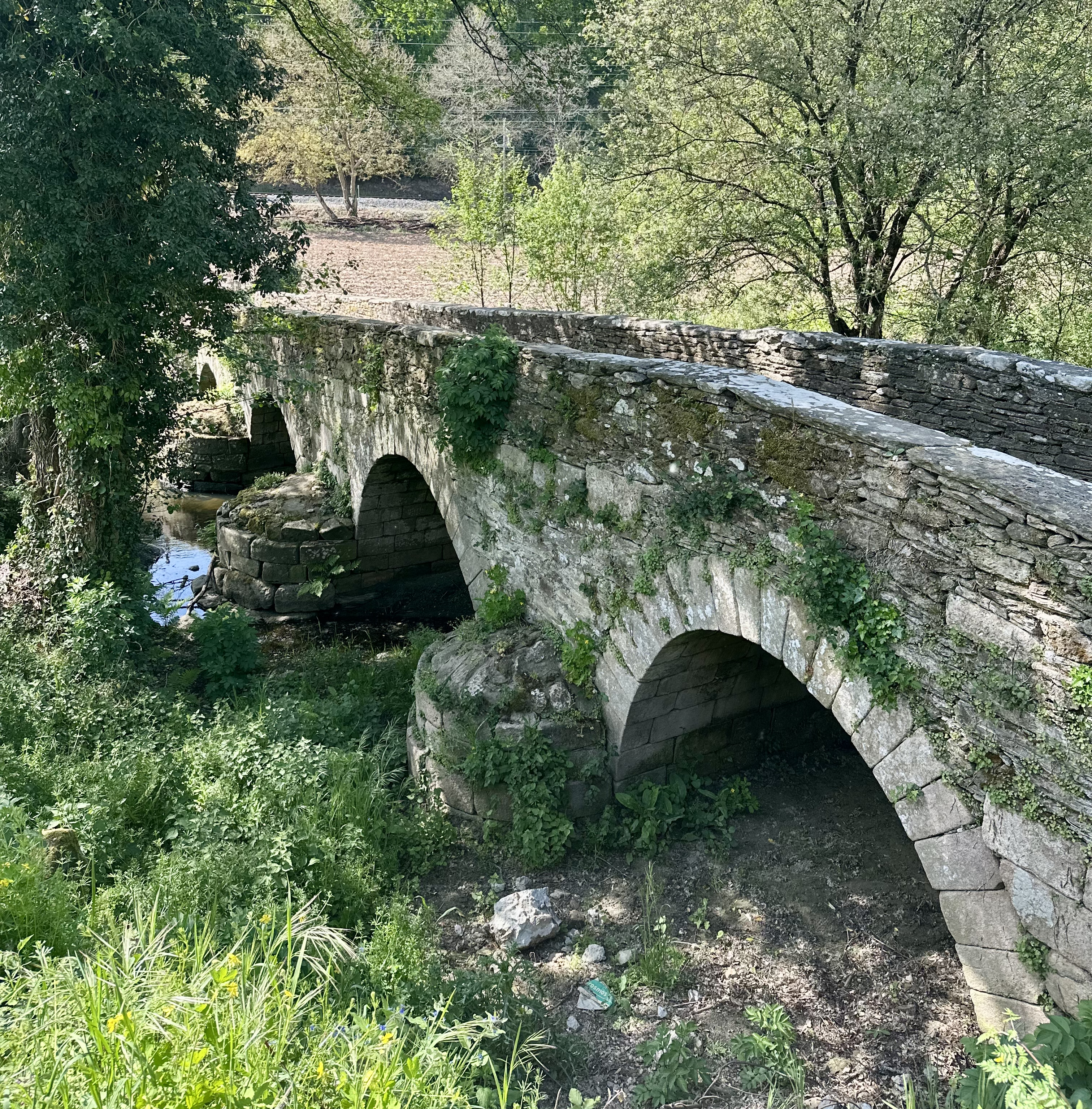
Navigate the flight of steps through Sarria’s old town. And then downhill through narrow stone lanes, past the impressive Convent of La Magdalena before crossing a medieval stone bridge over the Río Celeiro. The path then follows a railway line for about a kilometre before beginning a gentle climb.
Barbadelo
111 km (69 miles) to Santiago
After about 3 km, you reach the tiny hamlet of Vilei, home to the very popular Albergue Casa Barbadelo. The albergue has both private and dorm rooms and feels a little more luxurious than many albergues, with a small pool, lively bar and well-kept gardens.
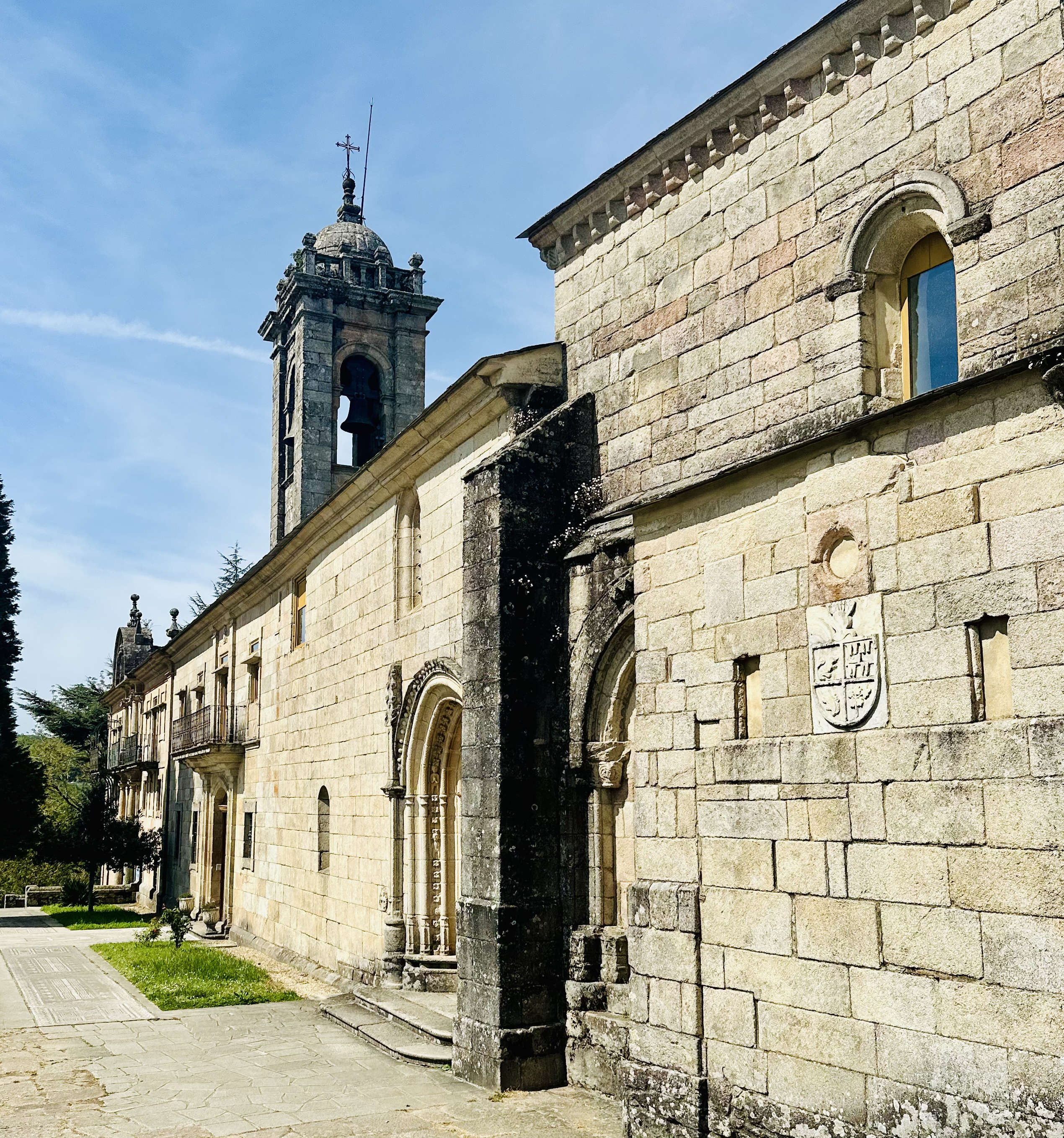
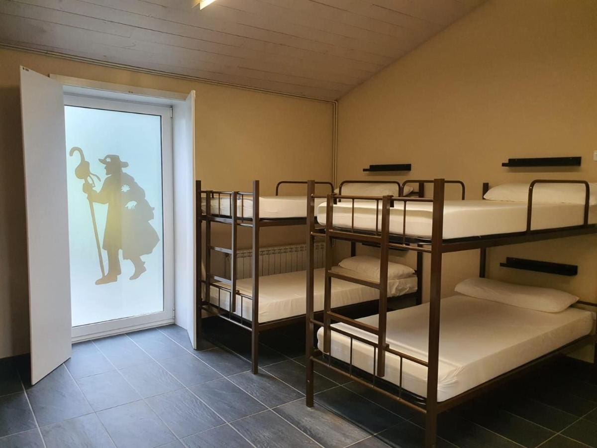
Another kilometre or so brings you to the tiny hamlet of Barbadelo, where you’ll find a beautiful 12th-century Romanesque church featured in the Codex Calixtinus. It’s about 100 metres off the Camino down a small lane, so keep an eye out for it. There are a few albergues here, including A Casa de Carmen, which is run with genuine love by a warm Italian couple, Federico and Julia, who serve up delicious homemade food. Another nice alternative to staying in busy Sarria.

Morgade
104 km (65 miles) to Santiago
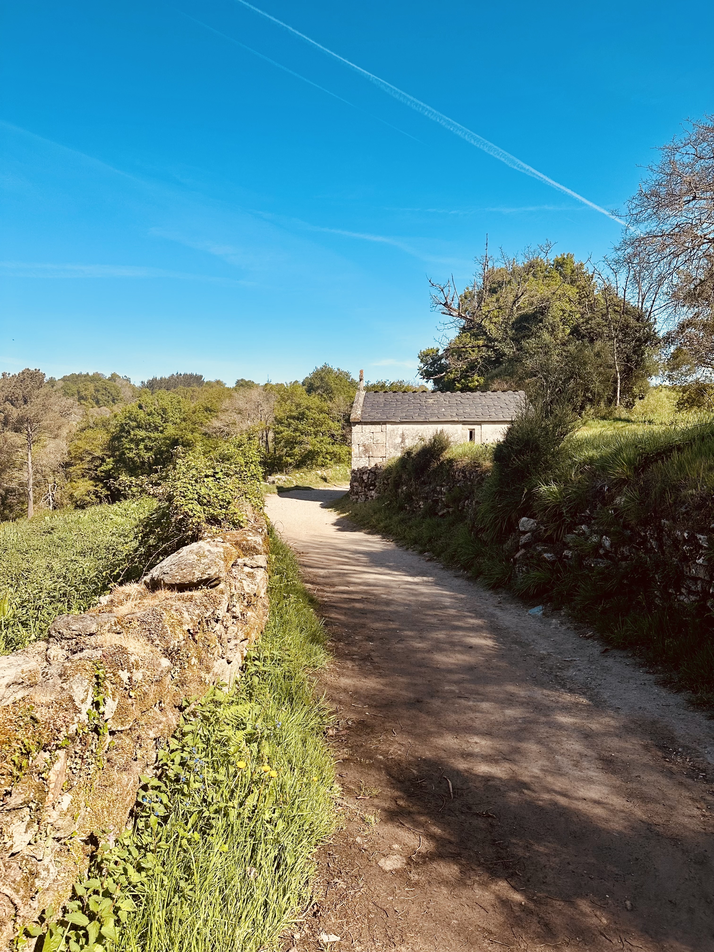
Continue on for about 8 km to Morgade. Here you will find Casa Morgade , with has a small café that spills onto the road, a perfect spot for a café con leche while watching pilgrims drift by.

Ferreiros
102 km (63 miles) to Santiago
A kilometre or so later, you reach Ferreiros, a name that hints at its old blacksmithing roots. It has a handful of albergues and a relaxed village feel. Just beyond here, you will pass the iconic 100 km marker.
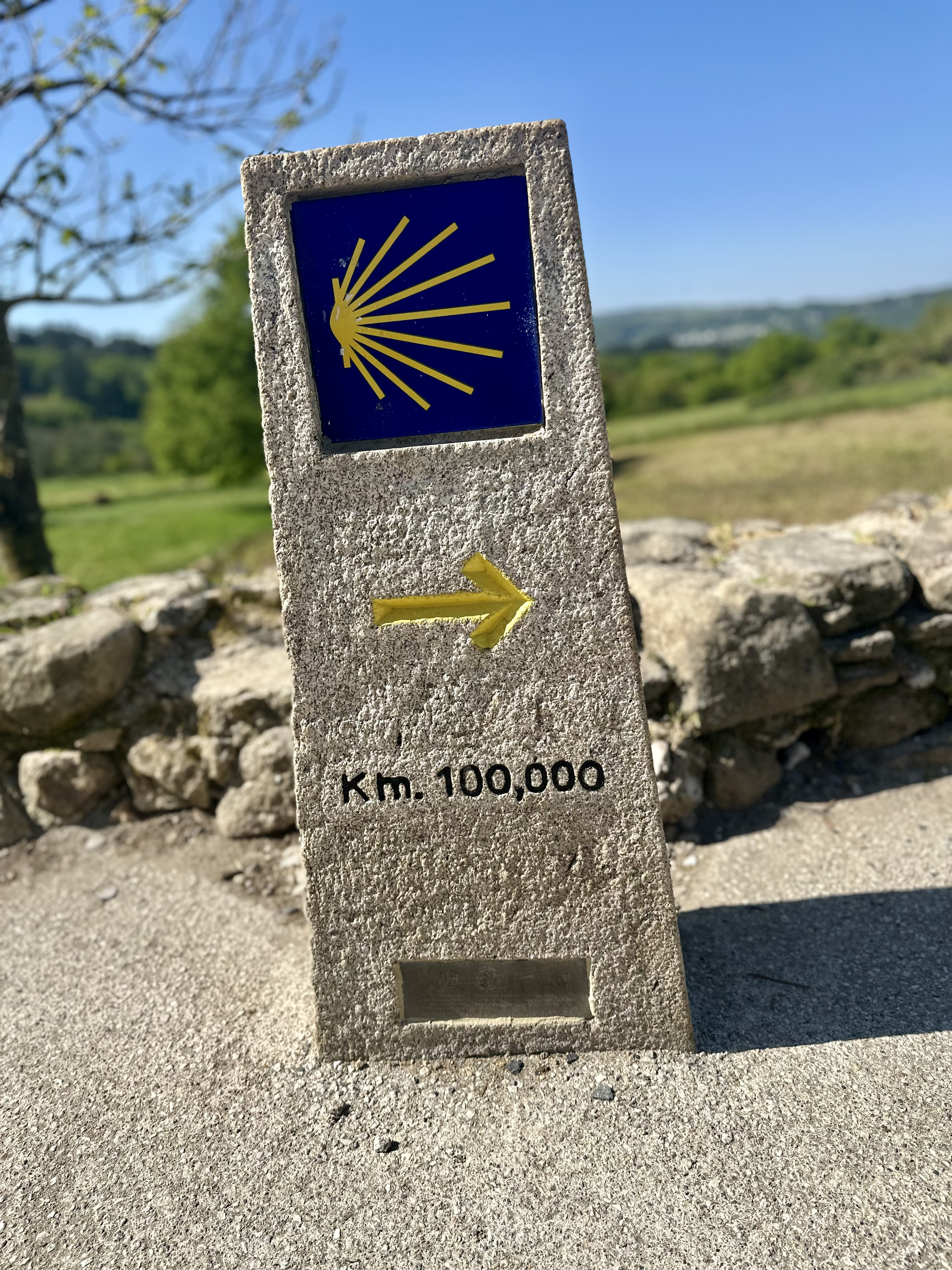
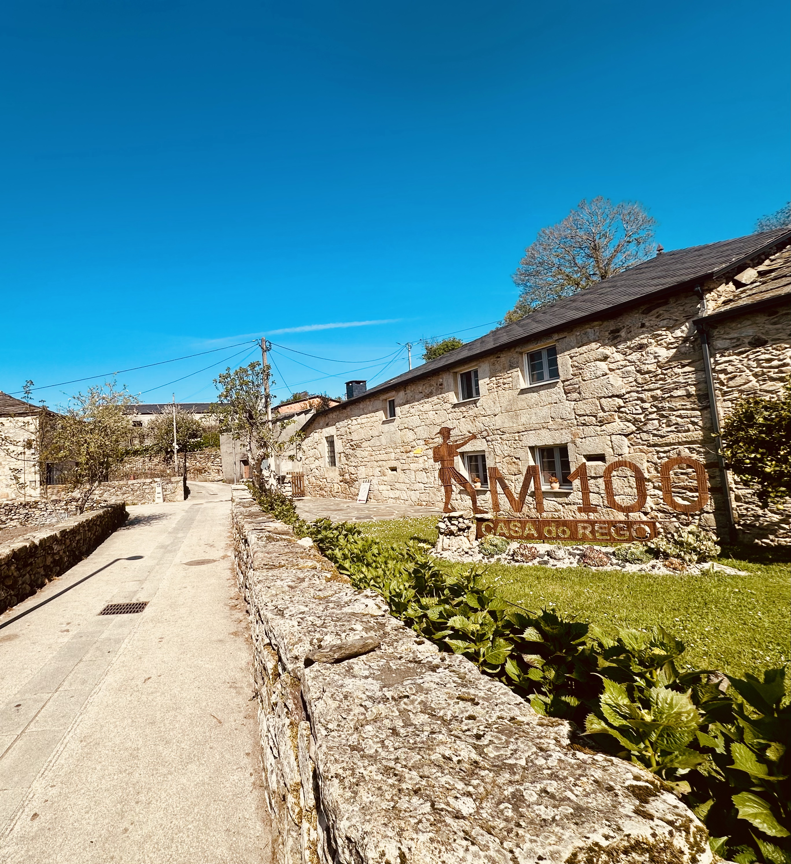
The path then continues through Pena, home to KM 100 Casa do Rego, set in a beautifully restored Galician farmhouse. Since taking over in 2024, the fabulous hosts Rafael and Gonzalo have been serving excellent home-cooked Galician food.
Mercadoiro
99 km (62 miles) to Santiago
A couple of kilometres later, you’ll reach Mercadoiro, home to the excellent Albergue Mercadoiro. Its popular gastrobar serves delicious traditional Galician dishes
Vilachá
96 km (60 miles) to Santiago
In Vilachá, you will find Casa Banderas, which translates to “the House of Flags.” Inside, it is covered in flags from all over the world and has a really friendly community vibe. Ray and Dominique from the US run it and are incredibly welcoming hosts. It was closed in 2025 but is due to reopen in 2026. I really like this place.
Portomarín
93 km (58 miles) to Santiago
After the hamlet, the path down toward the Miño River, the same river that, further south, forms the natural border between Spain and Portugal. As you descend, Portomarín gradually reveals itself, perched dramatically on a hill across the valley. Here, the route splits into two options: the “Historic” path and the one marked “Secundario.” There is little to choose between them in terms of distance, but the historic route is quite steep in places, so take your time and watch your footing if you opt for it.


Both paths rejoin at the bridge crossing the reservoir, and what a bridge it is. It’s 300 metres long and seriously high up; the views are impressive, but if heights aren’t your thing, you might want to just look straight ahead and keep moving. Once you cross, there are some steep stone steps to climb before you reach the town proper.


Portomarín itself has an unusual story. The original village was down in the valley, but back in the 1950s, they dammed the river to create the reservoir, and they moved the entire town up the hill. Stone by stone, with the Church of San Xoán, which was rebuilt exactly as it was. If you look closely, you can still see the numbers painted on many of the stones, used to mark exactly where each one belonged during the reconstruction. When water levels are really low, especially in late summer, you can sometimes see ruins of the old town poking out of the water.
Portomarín has a more modern feel than most Camino towns, almost like a stylish resort that just happens to have the Camino running through it. There are plenty of excellent places to eat. Restaurante Pérez is a great choice for traditional Galician food, while Restaurante O Mirador has wonderful views of the valley. For breakfast, don’t miss D’gusta Bakery, which served one of the best breakfasts I had on the entire Camino.
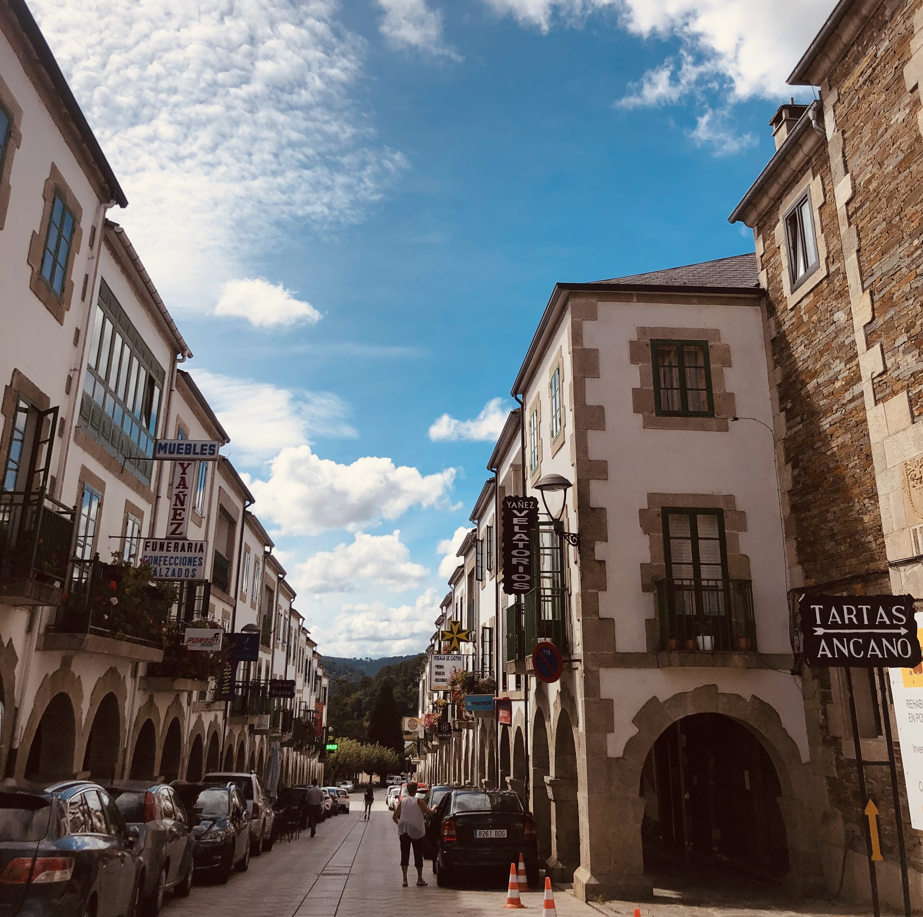
Galicia’s most famous cake is the Tarta de Santiago, a rich almond cake delicately flavoured with lemon and cinnamon, then dusted with icing sugar in the shape of the Cross of Saint James. You’ll see it everywhere on the Camino, and Portomarín is home to one of its best-known makers, Tarta Ancano. Their main bakery is just outside town, but they also have a small shop beside the church. They also sell delicious Chocolate Stones, toasted almonds coated in rich dark chocolate.
There are around 15 albergues in and around the town, ranging from the large Xunta municipal albergue to small family-run hostels with private rooms.

Gonzar
80 km (65miles) to Santiago
Leaving Portomarín, make sure you don’t accidentally miss the Camino signs as you head downhill out of town. It’s easy to take the wrong turn here; the path briefly doubles back on itself, and if you’re not paying attention, you can easily end up on the busy main road instead of the trail (I’ve done it myself!).
Just a little further on, you’ll come to a point where the route splits left and right; both rejoin later, and I like the left option. It brings you back down by the reservoir with another view of the bridge before climbing again on quiet country roads that turn into peaceful forest paths.
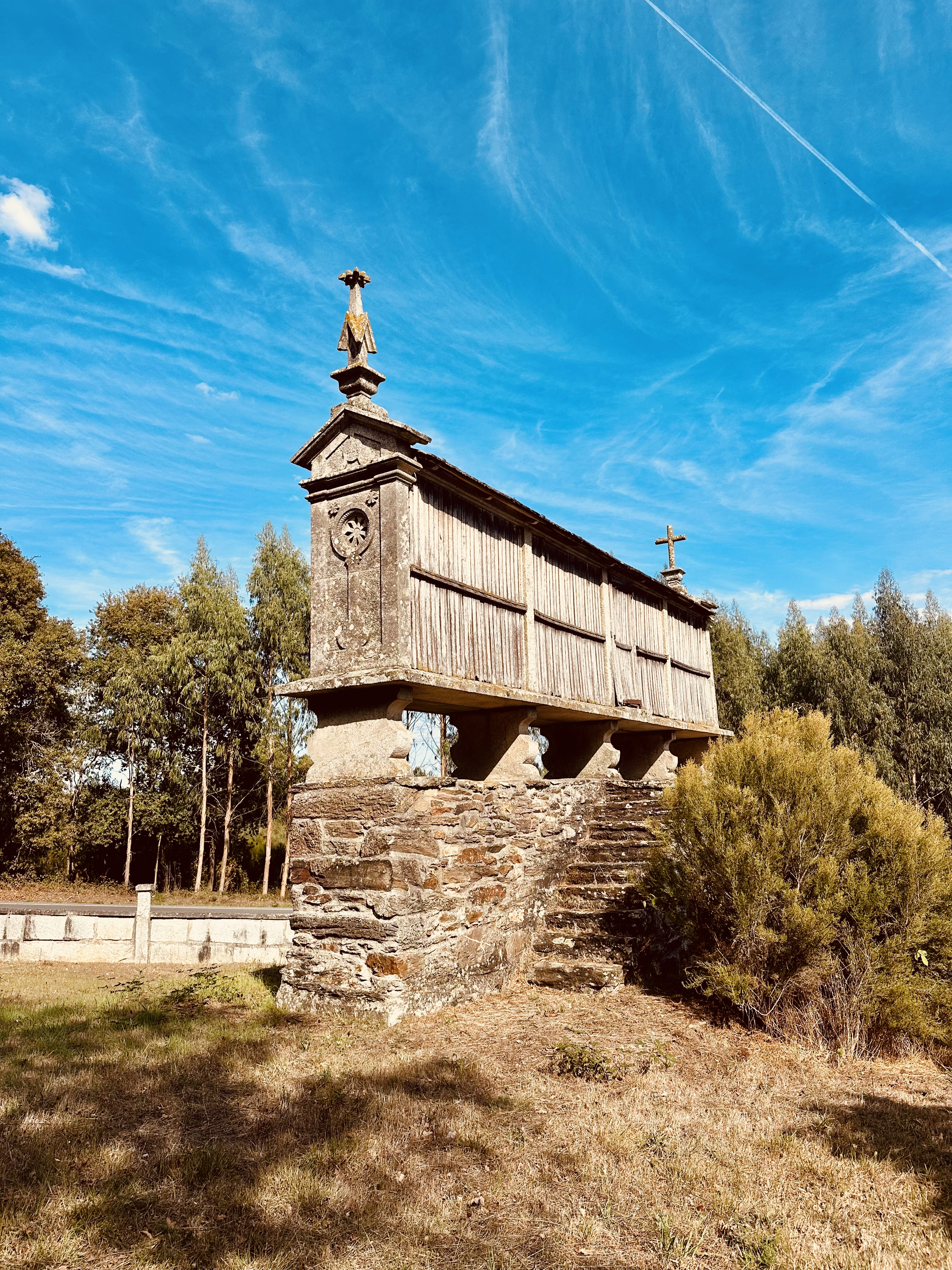
From here you will start to see hórreos everywhere, those long, narrow stone or wooden structures on stilts that look like tiny houses on legs, standing in almost every garden. The first time I saw one, someone told me they were used for burying the dead. Horrified but entirely gullible, I believed it. They are actually grain stores designed to keep the harvest dry and out of rodents’ reach.
After about 5 km of mostly uphill walking, you will reach Gonzar, a village where the cows significantly outnumber the people. There is a municipal albergue and a decent bar, Hosteria De Gonzar, which also has rooms.


Castromaior
84 km (52 miles) to Santiago
Continue through the small hamlet of Castromaior, which has just a handful of buildings and a small café. About 50 metres past the village, off to your left, you’ll find the ruins of the Castro de Castromaior, an ancient Iron Age hillfort that gave the village its name.
Most pilgrims walk right past without realising it’s there, as it’s tucked just out of view before the main road. But absolutely don’t miss it, it’s one of my favourite spots on the whole Camino.


The ruins date back to the 4th century BC and are among the most important Iron Age sites in northwest Spain. Inside the old stone walls, you can still see the remains of houses and narrow little lanes where people lived more than 2,000 years ago. The Celtic settlement was only abandoned after the Roman conquest, and archaeologists are still digging here; probably, only about 20 per cent has been excavated so far. You’re free to wander through the ruins; nothing’s roped off. If you take one thing from this guide, make it this: stop and spend time at Castromaior, ideally at first light.


Ventas de Narón
80 km (50 miles) to Santiago
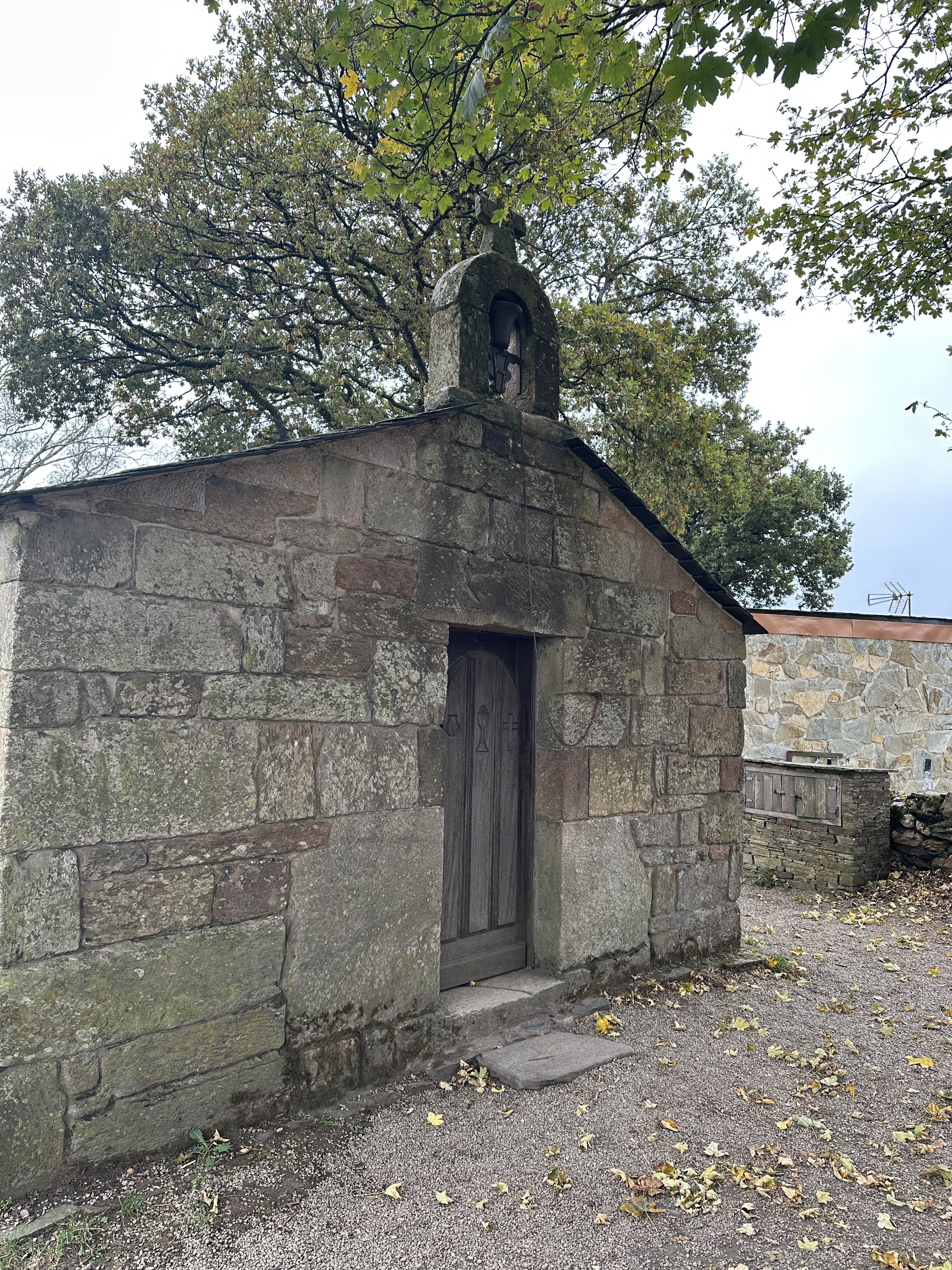
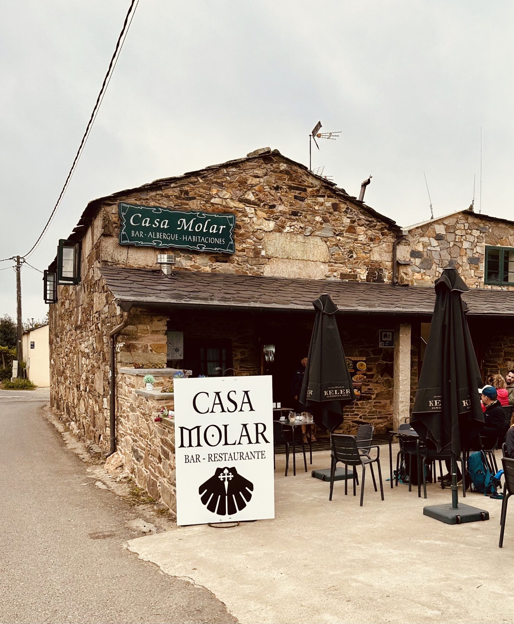
From here, the trail continues through ancient chestnut groves, quiet farm tracks, and a few small hamlets. Ventas de Narón has a tiny stone chapel and a couple of great places to stay, Albergue Casa Molar and Albergue O Cruceiro, both highly recommended.
Ligonde
77 km (48 miles) to Santiago
A few kilometres later, you’ll reach Ligonde, a peaceful little village with the only donativo albergue in the last 100 km, Albergue La Fuente del Peregrino. It’s a warm, welcoming place run by Christian group Asociación Ágape. The albergue has 10 beds and a relaxed communal vibe. It’s well worth stopping in for a rest or a chat with the volunteers, even if you’re not staying overnight. Note that it’s closed on Tuesdays and Wednesdays, and since it’s quite small, booking ahead is a good idea. They don’t serve alcohol, and the atmosphere here is rooted in Christian values.


After a few more kilometres, there’s a short but really worthwhile detour to Vilar de Donas, easy to miss if you’re not paying attention. The turn-off is about 1.5 km past Ligonde, and a small country lane leads roughly 2 km to the quiet little village.
Here you’ll find the 13th-century Church of San Salvador, one of the hidden gems of the Camino. The walk there is gentle and peaceful, through open fields and country lanes. The church is known for its beautifully preserved medieval frescoes and its connection to the Knights of Santiago, several of whom are buried inside, their tombs marked with carved stone effigies.
When I visited, the doors were closed, but I’ve heard it’s open on summer afternoons, and they hold Mass on the first Sunday of each month at 11 am. If you’re lucky, a volunteer might be around to unlock the church and share a bit of its history; it’s a lovely, atmospheric stop well worth the detour.


Palas de Rei
68 km (42 miles) to Santiago
Continue on to Palas de Rei, the Palace of the King, a name supposedly linked to a Visigoth king who ruled here in the 8th century. Today it’s a small but lively town of around 3,500 people, well-stocked with restaurants and shops.


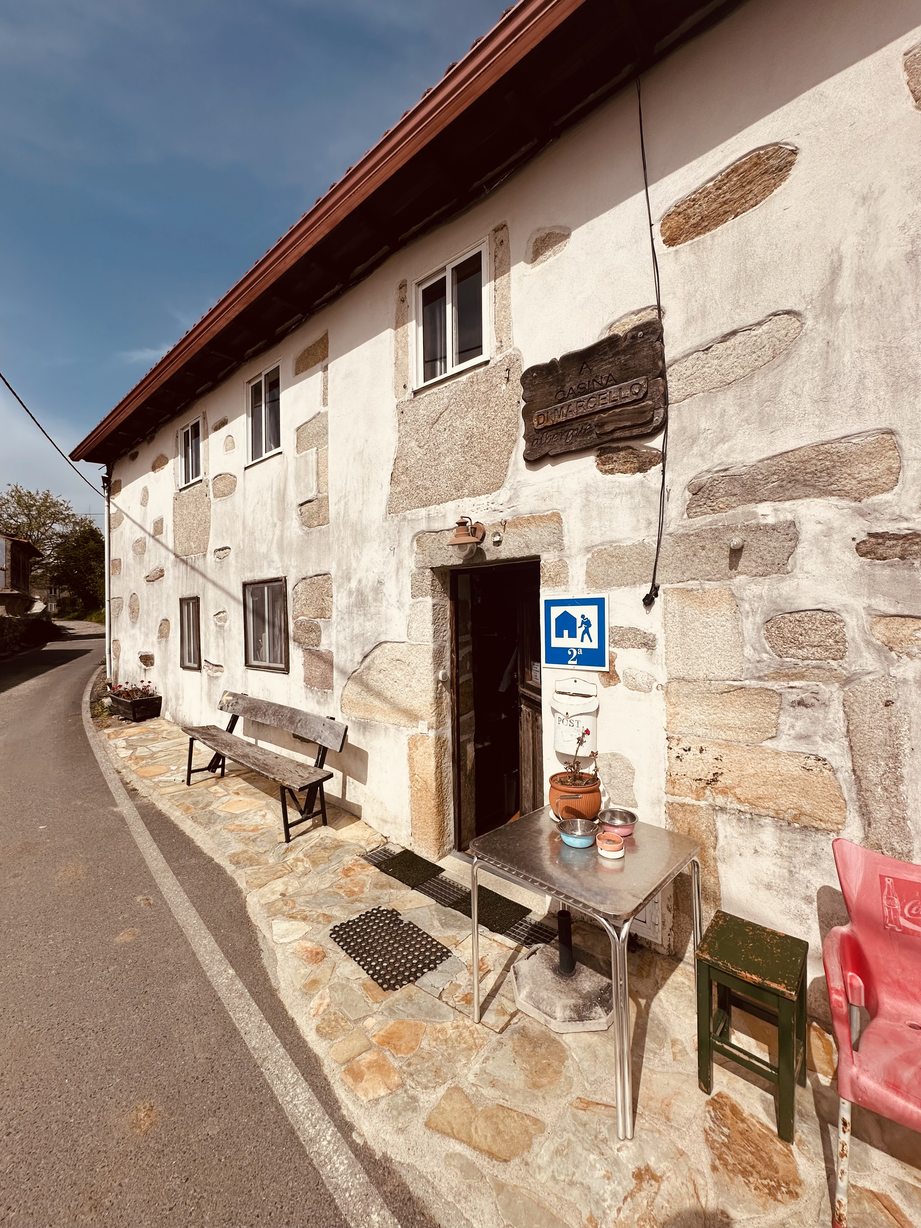
There are plenty of places to stay in town, including the very modern Albergue San Marcos next to the church on the way in, but my top pick is Albergue A Casina di Marcello, just on the edge of town as you leave. Marcello is a pilgrim himself and settled here to run his own place. He cooks a splendid Italian dinner, proper home-style stuff. Cannot recommend it enough.

San Xulian
64 km (40 miles) to Santiago
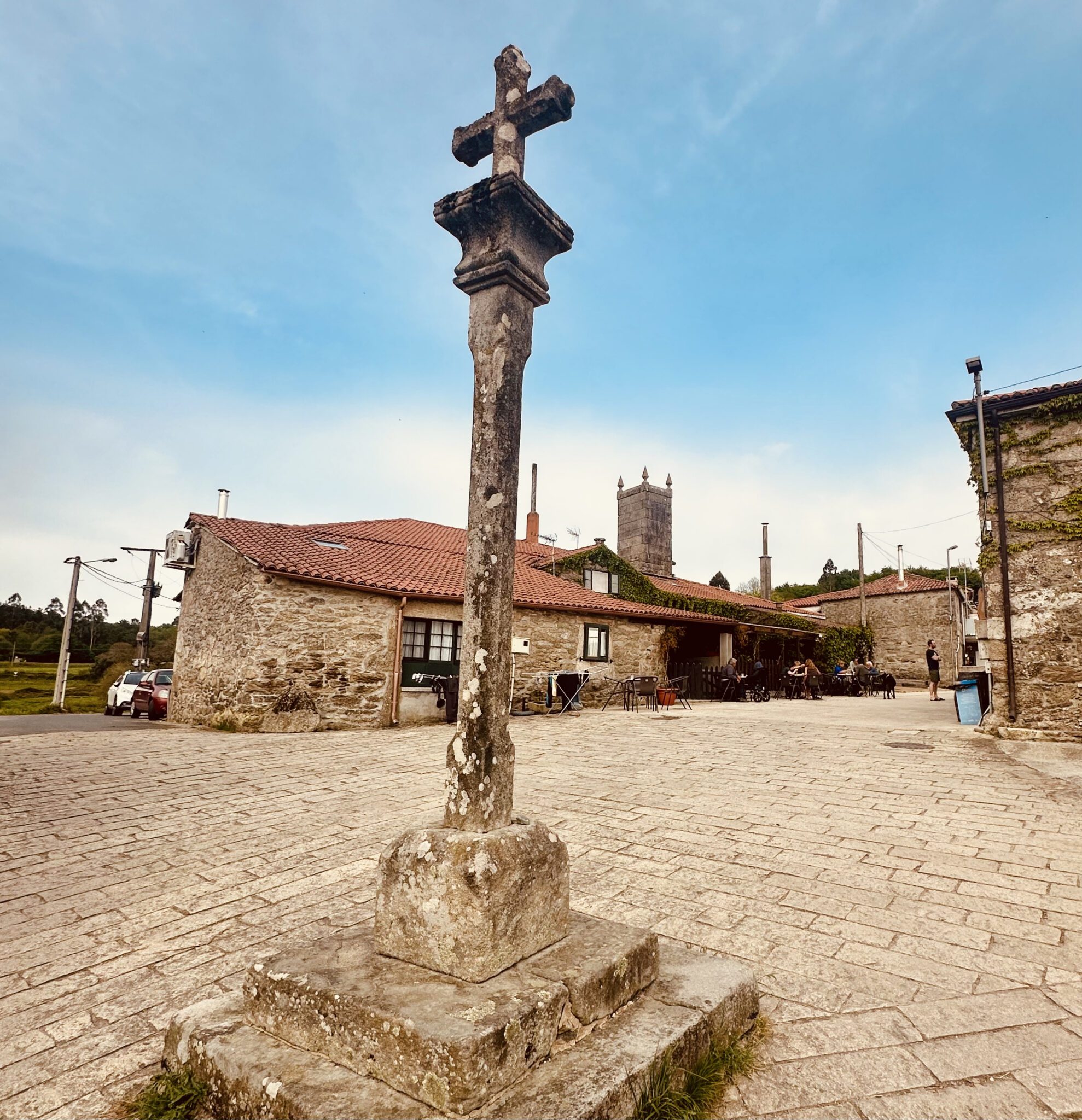
You have now fully entered eucalyptus territory. Although there are still pockets of old oak forest along the way, this Australian import has largely taken over and become one of the unofficial symbols of Galicia. Invasive species, technically, though the locals seem perfectly happy about it. A shame the koala bears did not come with the trees.
The hamlet of San Xulian has a small church and the wonderful Albergue O Abrigadoiro.

If you’ve got the energy for one last detour, about 3 km after Palas de Rei you’ll come to the turnoff for Pambre Castle (Castillo de Pambre). It’s an incredible sight, one of the few medieval fortresses in Galicia to survive the popular revolts of the 14th century. Perched on a hill and surrounded by forest, its thick stone walls and moss-covered towers look like something out of a fairy tale.


The detour adds about 5 km total (round-trip), depending on where you rejoin the Camino, and usually takes about 2 hours extra. The castle is open Tuesday to Sunday, roughly 11:00 to 18:00, and it’s absolutely worth it if you want a taste of medieval Galicia
Melide
53 km (33 miles) to Santiago
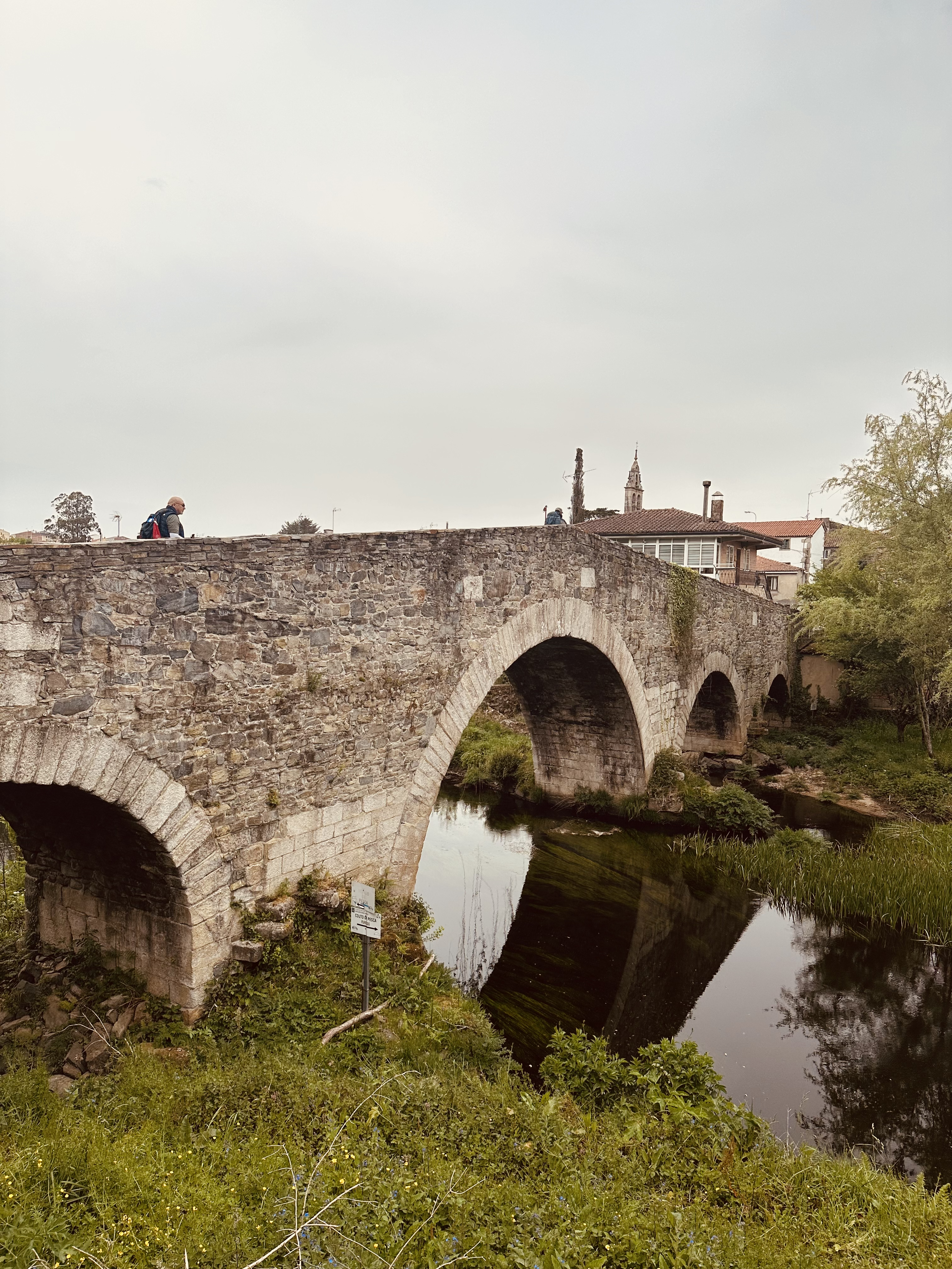
Continue for another 11km until you reach the Ponte de Furelos, a fine medieval bridge. Cross the old stone bridge, head through the tiny village of Furelos, pass the Iglesia de San Xoán, and then it’s just another 1km into the centre of Melide.
Melide is a lively mid-sized town and is the capital of Galicia’s signature dish, pulpo (octopus). It might seem odd since the town is more than 40 km from the sea, but there’s a long history behind it. For centuries, fishermen from coastal ports like A Coruña brought octopus inland, preserved in salt, and sold it to traders and pilgrims passing through this crossroads. Over time, Melide earned its reputation for serving some of the best pulpo in Galicia.
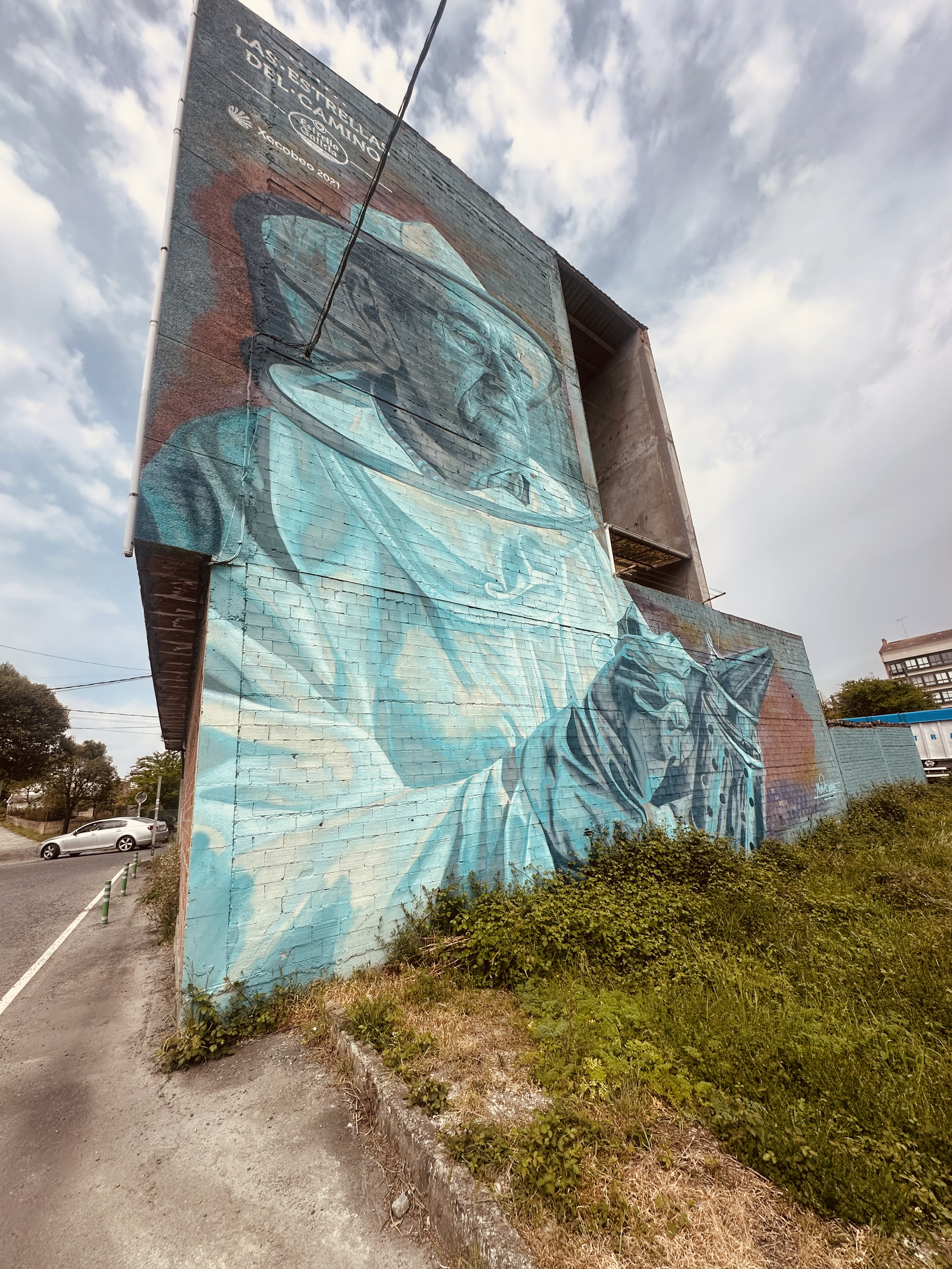
Today, pulperías still cook it the traditional way: boiling it in large copper pots, snipping it into pieces with scissors, and serving it on wooden plates with olive oil, coarse sea salt, and paprika. The most famous pulpería in Melide is A Garnacha, sitting right on the main street that cuts through the centre of town like a highway. You really cannot miss it; there are staff outside handing out samples, trying to pull you in off the street. Inside, it is buzzing, locals and pilgrims crammed together around long, wooden refectory-style tables. It is unashamedly a tourist spot, but one run with real gusto and genuine pride. The menu is extensive, but honestly, nobody comes here for the menu. They just come for the pulpo. Order a plate, grab a glass of Ribeiro wine, and just soak it all in.


Melide is one of the busiest overnight stops on the Camino. There are more than 20 albergues in and around town, including a large Xunta municipal. Melide is also at the junction of the Camino Francés and the Camino Primitivo, so you’ll likely meet pilgrims from both routes.
Ribadiso
42 km (26 miles) to Santiago
Leaving Melide, the trail quickly slips out of town and again into woodland. It is peaceful walking, mostly on soft paths rather than roads, and it feels very rural almost straight away. A few kilometres on, you reach the small village of Boente. At its centre is the pretty Church of Santiago, a simple stone church that has welcomed pilgrims for centuries. There are a couple of cafés and albergues here.
Beyond Boente, the Camino continues through forests and farmland, dipping in and out of shade. You cross small streams and pass old stone walls thick with moss, classic Galician scenery. The walking is gentle, with only mild rises and falls, nothing too demanding.
Next comes Castañeda, another small village with deep Camino history. In medieval times, stone for the construction of the cathedral in Santiago was quarried and prepared here. Today it is quiet, with a handful of houses, an albergue or two, and long views across the countryside.


Just after Boente, you’ll head down into a lush green valley and cross a small stone bridge over the Iso River. Right after that, you’ll see the albergue at Ribadiso, one of my favourites.
From Castañeda, the path gradually leads you toward Arzúa, but just before the town, you ease down into Ribadiso, a lovely little hamlet gathered around a small stone bridge, with a clear river running beneath it, grassy banks, and old stone buildings right at the water’s edge. In summer, it’s a perfect spot to cool your feet. I’d strongly recommend staying here if you can. The municipal albergue occupies a beautifully restored medieval pilgrims’ hospital right by the river, simple but full of character, with a calm, unhurried atmosphere that makes it very easy to linger.
It’s set in an old stone building, a restored medieval pilgrims’ hospital, right by the river. The setting is really peaceful, with a little stream running past and fields all around.
Arzúa
39 km (24 miles) to Santiago
The walk from Ribadiso to Arzúa is short, just about 3 km, but it’s mostly uphill, so you’ll feel it, especially if you’re hitting it first thing in the morning.
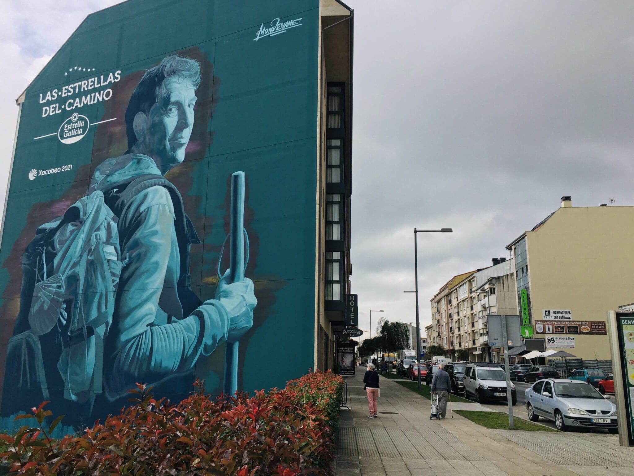

You leave Ribadiso by crossing another little stone bridge and then start the steady climb through trees and back onto quiet country roads. It’s not far, but it can feel longer with the hill and the morning legs.
Arzúa is a fine town, and the Camino goes right through the middle of it. Arzúa is best known for its local cheese, queso de Arzúa-Ulloa. It’s soft and mild, and you’ll often see it melted on toast or drizzled with honey.
A Rúa
21 km (13 miles) to Santiago
The walk from Arzúa to A Rúa is about 19 km, and it’s a mix of forest paths and country lanes, with a few gentle ups and downs. It’s a peaceful stage, passing through hamlets like Pregontoño and Salceda.
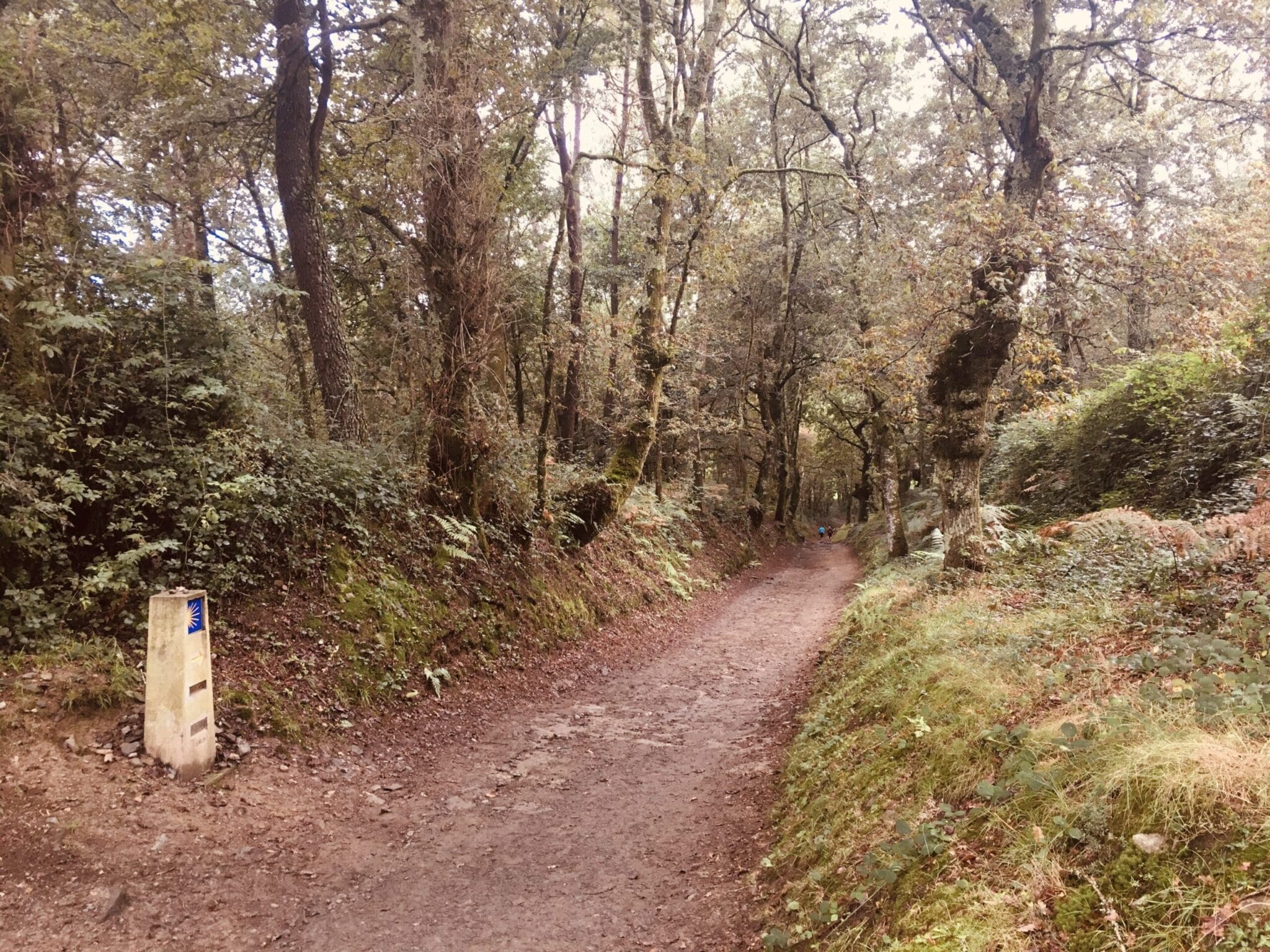

A Rúa itself is a small, quiet village, more a cluster of houses than a proper town, but it has a couple of good albergues, including Albergue O’Pazo and Albergue A Rúa. There are also a few bars and restaurants where you can get a decent meal.
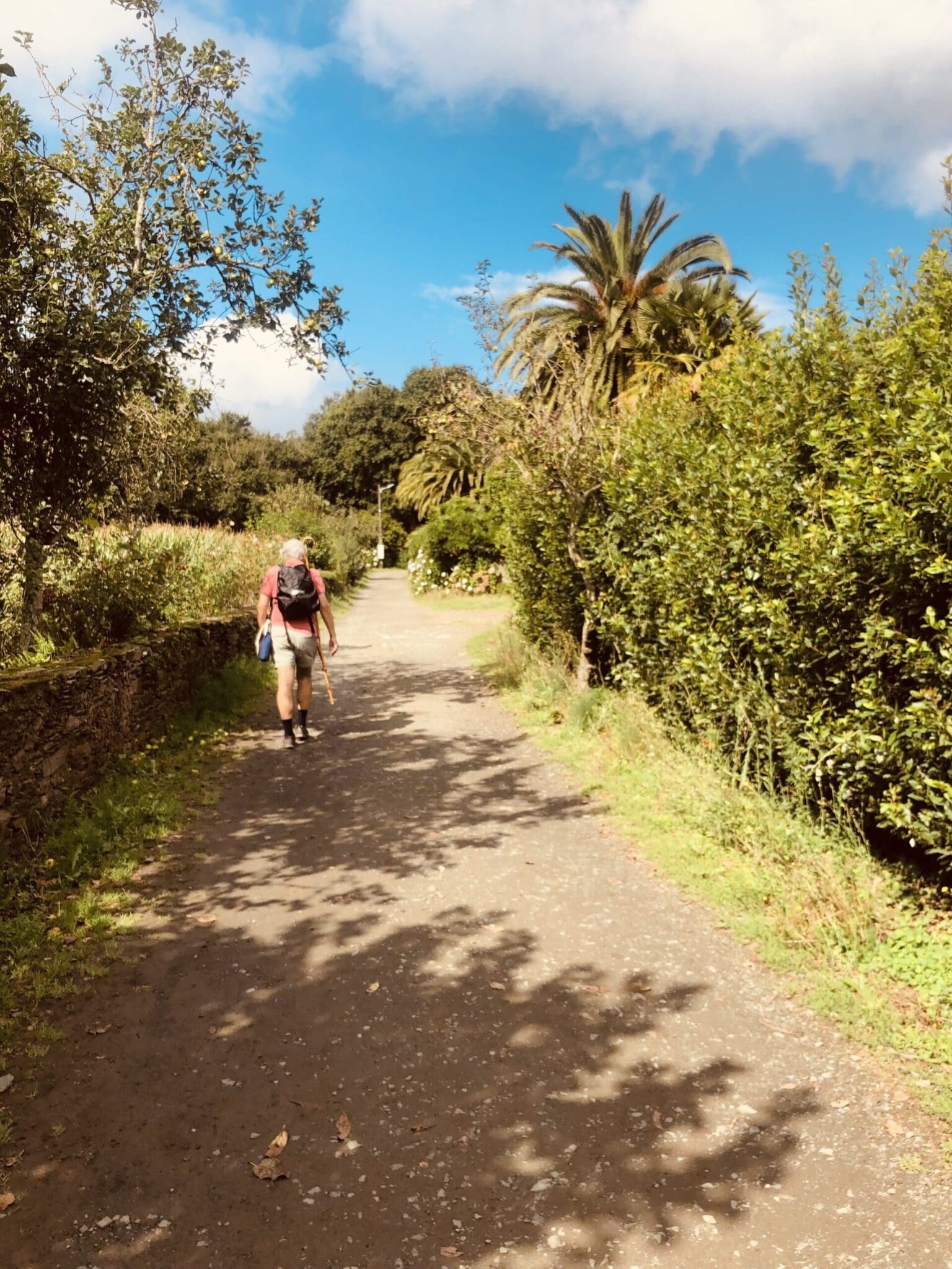

It’s a great place to stop for the night if you want to break up the final stage to Santiago. Staying here means you’ve got just over 20 km left the next day, enough for a good final walk, but not too long. It also keeps you out of the busy crowds that start packing into O Pedrouzo. A calm last night on the Camino.
Santiago
0 km (0 miles) to Santiago
The final walk into Santiago stretches just over 20km, and it brings a mix of emotions: excitement, anticipation, nerves, and a tinge of sadness that it’s almost over.
The path winds through more country lanes and the usual scatter of small villages, eventually skirting around Santiago airport. Along the way you’ll pass through Amenal, San Paio, and Lavacolla, the spot where medieval pilgrims would lavar, wash themselves, before entering the city. There are a few hills, but nothing too brutal, just enough to remind your legs of everything they’ve been through.
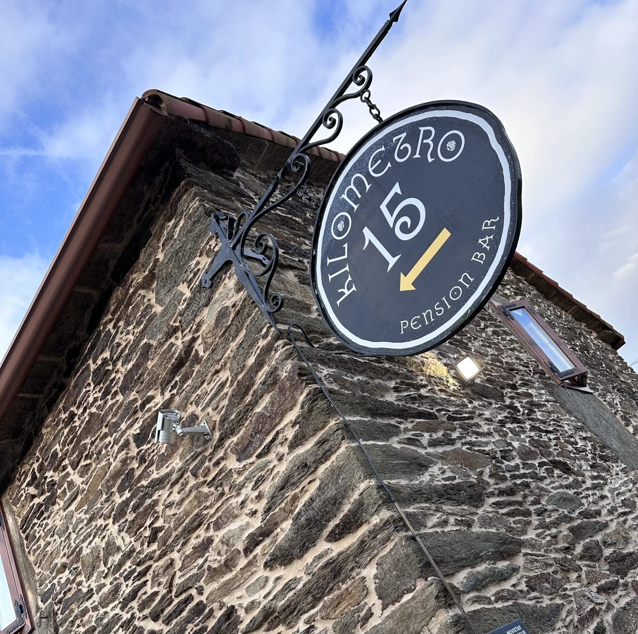

Then you reach Monte do Gozo, “Mount Joy,” a small hill with sweeping views over the city. It’s the first place you catch a glimpse of the cathedral towers in the distance. I always try to imagine what it must have felt like standing here in medieval times, after months on the road, finally seeing your destination in sight. They must have been completely overwhelmed with emotion.
From there, it’s a steady walk downhill into the heart of Santiago. On the way, you’ll pass the Monte do Gozo complex on your left, a vast albergue built to handle the tremendous surges of pilgrims arriving at certain times of the year, capable of sleeping hundreds, possibly thousands. From the outside, it feels cold and functional, long rows of barracks that look more like a World War 2 POW camp than a cosy albergue. I’ve never stayed there myself. I should try it sometime.
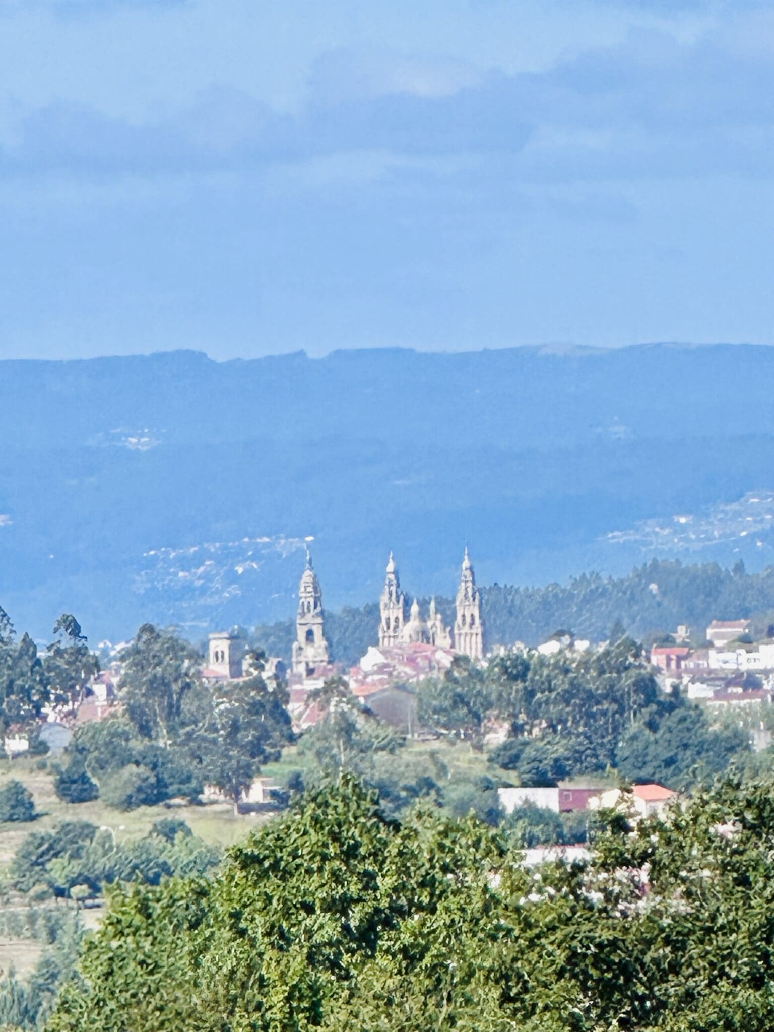

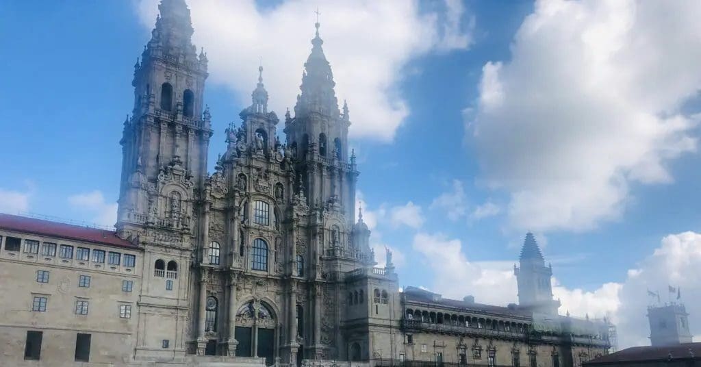
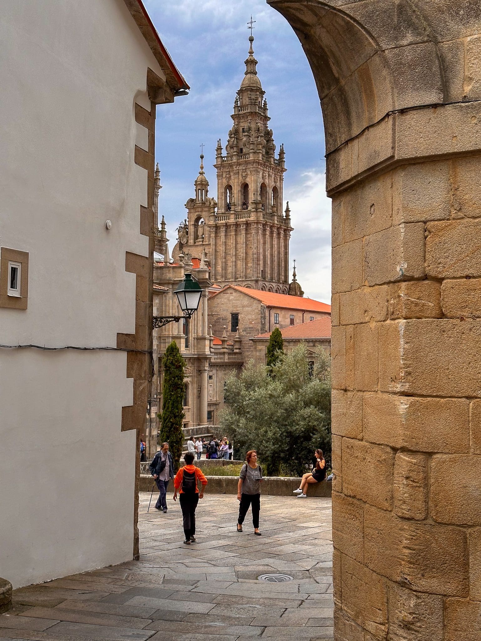
Oddly, as you enter the city, the yellow arrows seem to fade away, but just keep the cathedral spires in sight, and before long, you will find yourself on the cobbled streets of the old town. From here, simply follow the crowd. You’ll pass through a small tunnel where a Galician bagpiper usually plays, the sound echoing off the stone walls, and a few steps later, you emerge into the Praza do Obradoiro; the cathedral rising before you.
Congratulations, you have made it. You have arrived. Take a moment. Do not rush it. This is the finish line you have been walking toward for days, weeks, or even months.
First things first, drop your pack if you can and just stand there for a minute. Soak up the atmosphere. The square is always full of emotion. Some people are laughing, some are crying, and others are just sitting quietly, their backpacks against their backs, staring at the cathedral in disbelief. Take your photos, but also put the phone away for a bit and just people-watch. You will see reunions, hugs, tired legs stretched out on the stones, and that shared look between pilgrims that says, “We made it.”
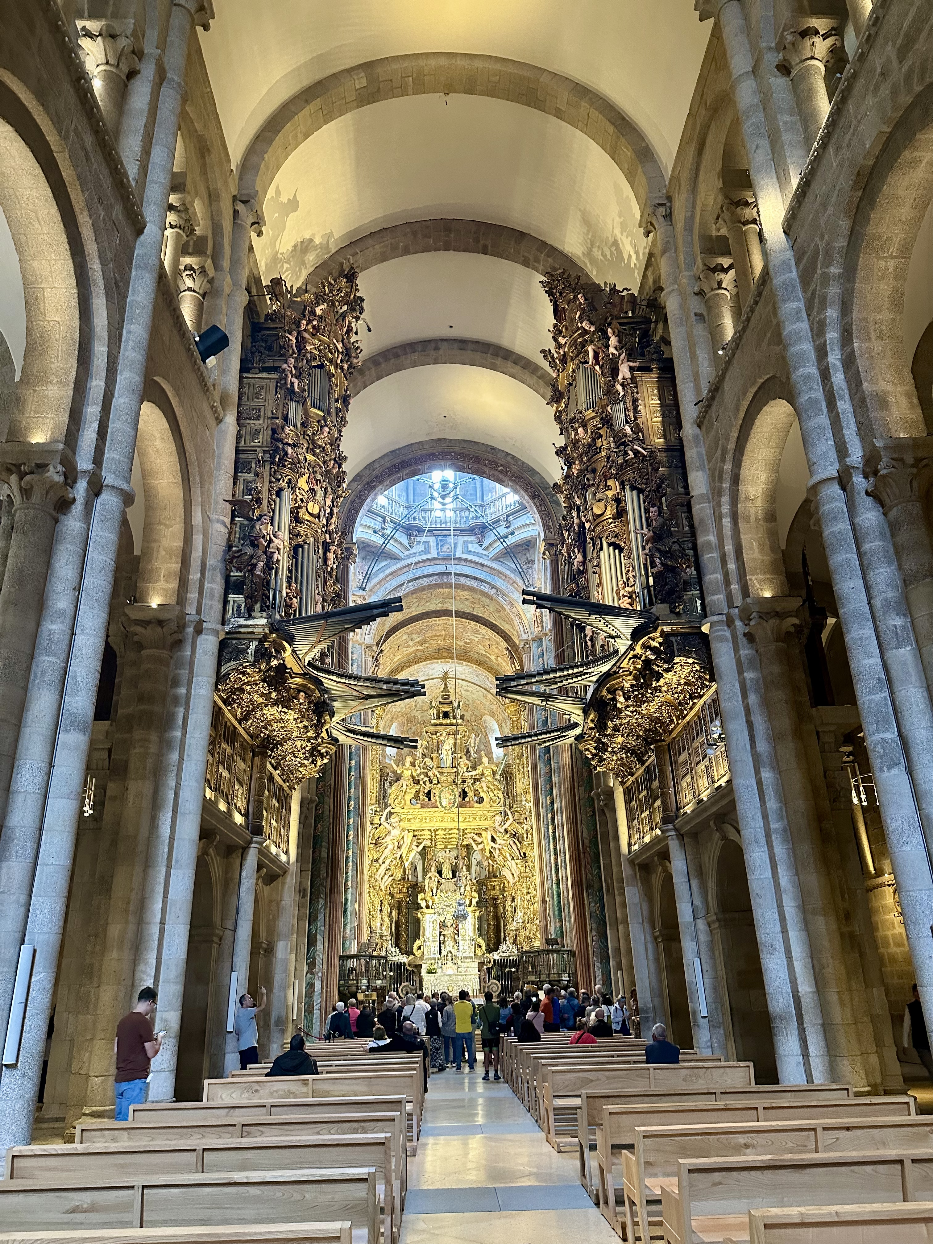
After you have taken it all in, head inside the cathedral. Even if you are not religious, it is hard not to be impressed. The scale, the history, the echo of footsteps on the stone floor, all add to the feeling that you have reached somewhere truly significant. If there is a pilgrim’s mass on, it can be a really special experience.

At some point, you will also want to collect your Compostela, the official certificate of completion. For that, you need to go to the Pilgrim’s Office, just a short walk from the square. Bring your credential passport with all your stamps. You will just take a ticket and wait for your turn. Sometimes it is quick, sometimes there is a queue, but it is all part of the ritual. Walking out with your name written in Latin on that piece of paper feels very rewarding. After that, the rest of the day is yours. Coffee, a cold drink, a proper meal, or just sitting back in the square again, watching new pilgrims arrive one by one.

Santiago has plenty of places to stay, from the very luxurious Parador hotel to loads of albergues and small guesthouses. I have stayed here many times, and to be honest, I have never found an albergue that felt truly special to me. None really seem to offer communal meals or that strong sense of community you often find along the trail. But that is probably just natural. It is a fairly big city, and most people are in a different headspace by the time they arrive. Pilgrims tend to drop their bags and head straight out to explore, catch up with friends, meet loved ones waiting for them, or simply book into a hotel and enjoy a good scrub and a private room for the night.
That said, here are a few I would recommend. Albergue Santiago km 0 is modern and just a stone’s throw from the cathedral, right beside the Pilgrims’ Office, so you really cannot get more central. I also liked El Último Sello (The Last Stamp), right in the heart of the old town, a great location and a nice end-of-Camino atmosphere. Meiga Backpackers is a little further out but has a good social buzz and feels more like a traveller hangout than a typical albergue. Albergue Seminario Menor occupies an old historic seminary building, offering amazing views over the city. It is a bit austere, but it does have private rooms, even if they are fairly spartan. Albergue Sixtos no Camiño is another good option close to the centre.


I like your descriptions very much as I am about to head over from Australia. I am most likely starting from Astorga or Ponferrada – trying to decide also whether to go to Finisterre. Thanks for sharing.