
Section 1
Saint-Jean to Roncesvalles

The Camino Francés begins with one of its toughest challenges: a gruelling climb up and over the Pyrenees, from the medieval walled town of Saint-Jean-Pied-de-Port to the legendary monastery at Roncesvalles. The scenery along the way is epic: windswept, rugged hills and vast, open sky, but it is also one of the most punishing stretches on the entire Camino, and it can push your body to its limits before the journey has barely begun.
Hardly out of Saint-Jean, you face your first real decision. Do you take the famous Napoleon Route high over the mountains to Roncesvalles, or follow the gentler alternative through Valcarlos? Both paths lead to the same destination, though one is a little more demanding than the other.
Either way, from your very first steps, you will begin spotting the iconic yellow arrows that will guide you all the way to Santiago. It can be a surprisingly emotional moment when, after months or even years of dreaming about and preparing for the walk, it suddenly becomes real. As you ascend high into the Pyrenees, the landscape opens into sweeping vistas. Along the way, you cross from France into Spain, marking the first of many milestones on this incredible journey.
Some pilgrims (Peregrinos in Spanish) complete the full 23.5 km in a single long day, while others split it into two stages and stay overnight along the way.

Saint-Jean
780 km (485 miles) to Santiago
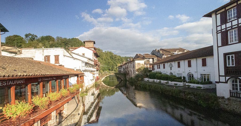
Saint-Jean-Pied-de-Port is a small Basque town of around 2,000 people, nestled in the foothills on the French side of the Pyrenees. It is the second most popular starting point of the Camino Francés, with over 30,000 pilgrims beginning here each year.


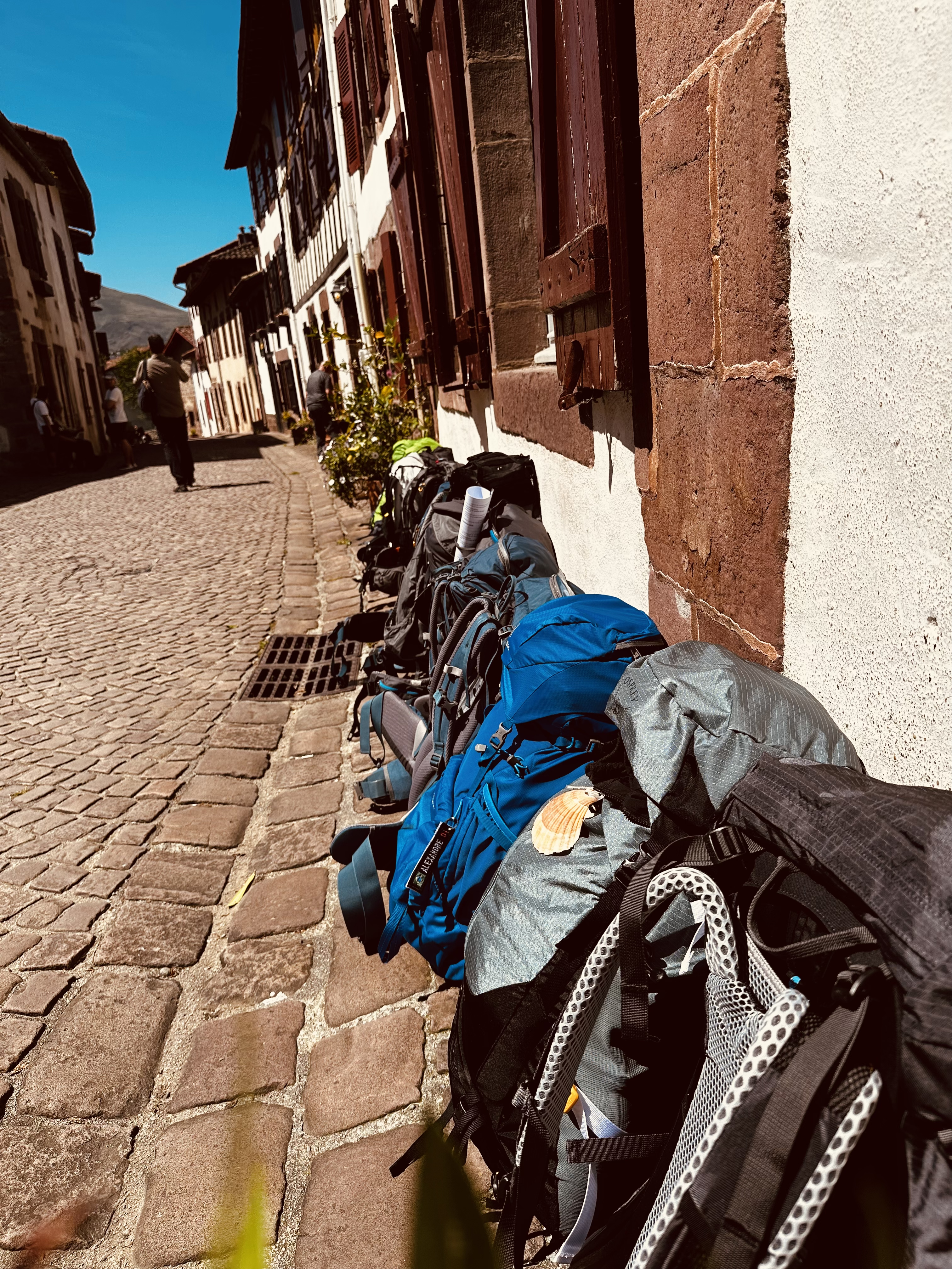
It’s hard not to fall in love with Saint-Jean from the moment you arrive. Red timber-framed houses with whitewashed walls line the narrow cobbled streets, buzzing with life, with locals chatting in cafés, shopkeepers arranging displays of regional cheeses and cured meats, and pilgrims picking up last-minute supplies. There is a real frontier-town energy to the place.
Getting to Saint-Jean-Pied-de-Port is fairly easy: If you are coming from the French side, the simplest option is to take the train from Bayonne, which takes about an hour and is my favourite way to get to St Jean. I will mention a little more about that later. The train costs about €12, runs roughly every three to four hours throughout the day, and you can book it online. SNCF, the French regional train network, operates the service. Bayonne train station connects well to other French cities, and there is a high-speed train from Paris that takes about 4 to 5 hours.
You can also fly into Biarritz Airport from several European countries, then take a short city bus to Bayonne Train Station. Some pilgrims arriving at Biarritz Airport choose to take a taxi directly from the airport to St Jean. The ride costs around €100, though many walkers choose to split the cost with fellow pilgrims. The airport is small and easy to navigate, and you’ll have no trouble spotting others heading the same way. You can also arrange to share in advance through Camino Facebook groups or the Camino de Santiago forum, which is well worth joining before you travel.
If you are arriving from Spain, make your way to Pamplona, which is well connected by train and bus to both Madrid and Barcelona. From there, take the ALSA bus to St Jean, which departs at around 10 am, takes about an hour and 45 minutes, and costs around €22.
Quick tip: When travelling in Spain or anywhere in Europe, I really like the Rome to Rio app. You just enter where you are starting and where you want to go, and it shows you all the different ways to get there, like trains, buses, flights, or a mix of them. You can use the website or download the app; both work great and save a lot of head-scratching when planning connections.
As I mentioned in the intro, forgive me if I get a little carried away about some of my favourite moments along the way, and arriving in Saint-Jean by train from Bayonne is definitely one of them. I think it is the perfect way to start your Camino. Standing on the platform in Bayonne, you could be forgiven for thinking you’re about to board a grown-up version of the Hogwarts Express from Platform 9¾, surrounded by a motley crew of adventurers, all strangers, yet all about to share the experience of a lifetime. Once on board, the train slowly winds its way up into the Pyrenees, offering breathtaking views with every bend. It is simply a lovely way to begin your adventure.
Most people head straight for the Pilgrim’s Office as soon as they get into Saint-Jean. This is where it all becomes official. You can register, pick up your pilgrim passport, get your first stamp, grab the latest route updates, and collect a list of albergues for the road ahead.
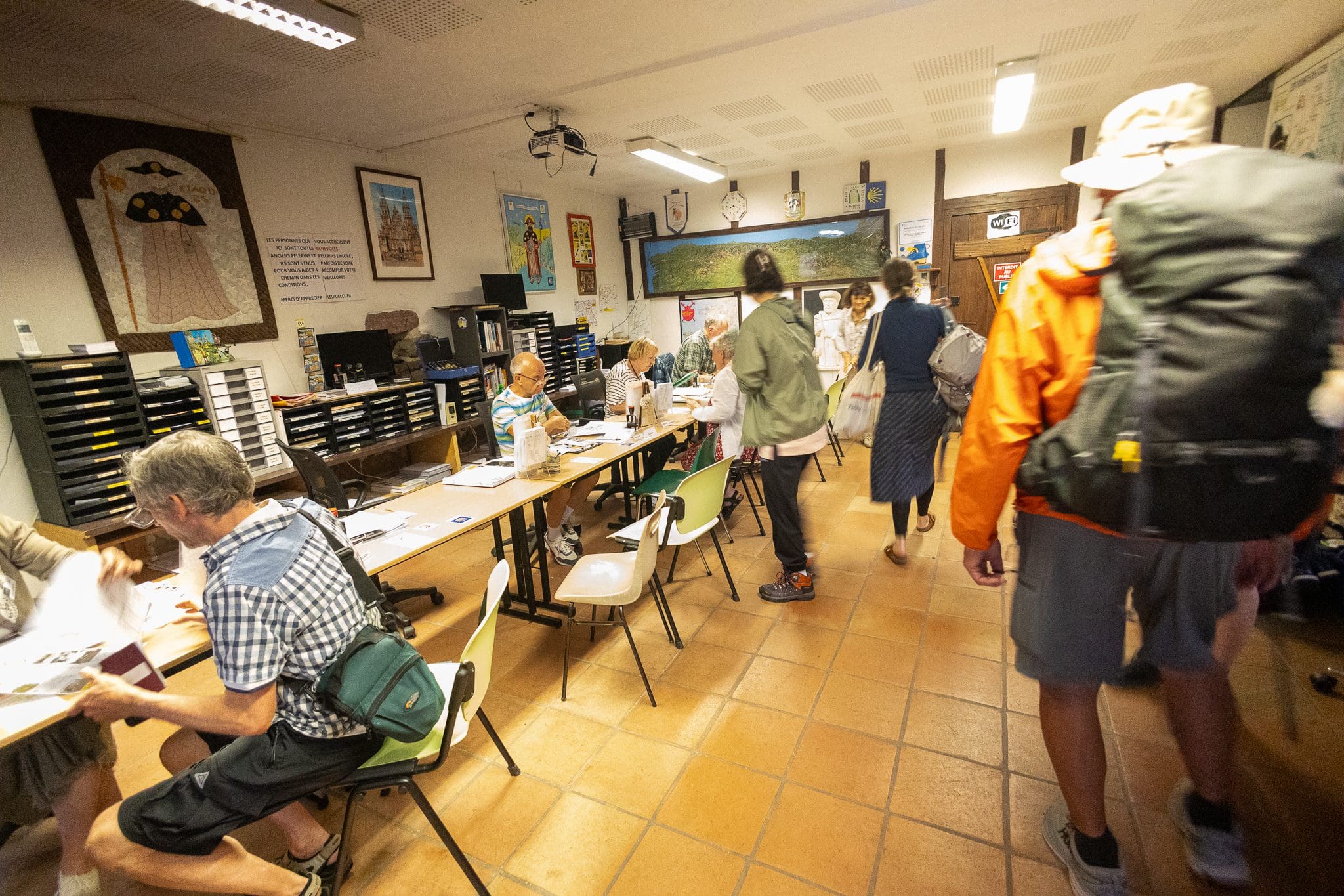
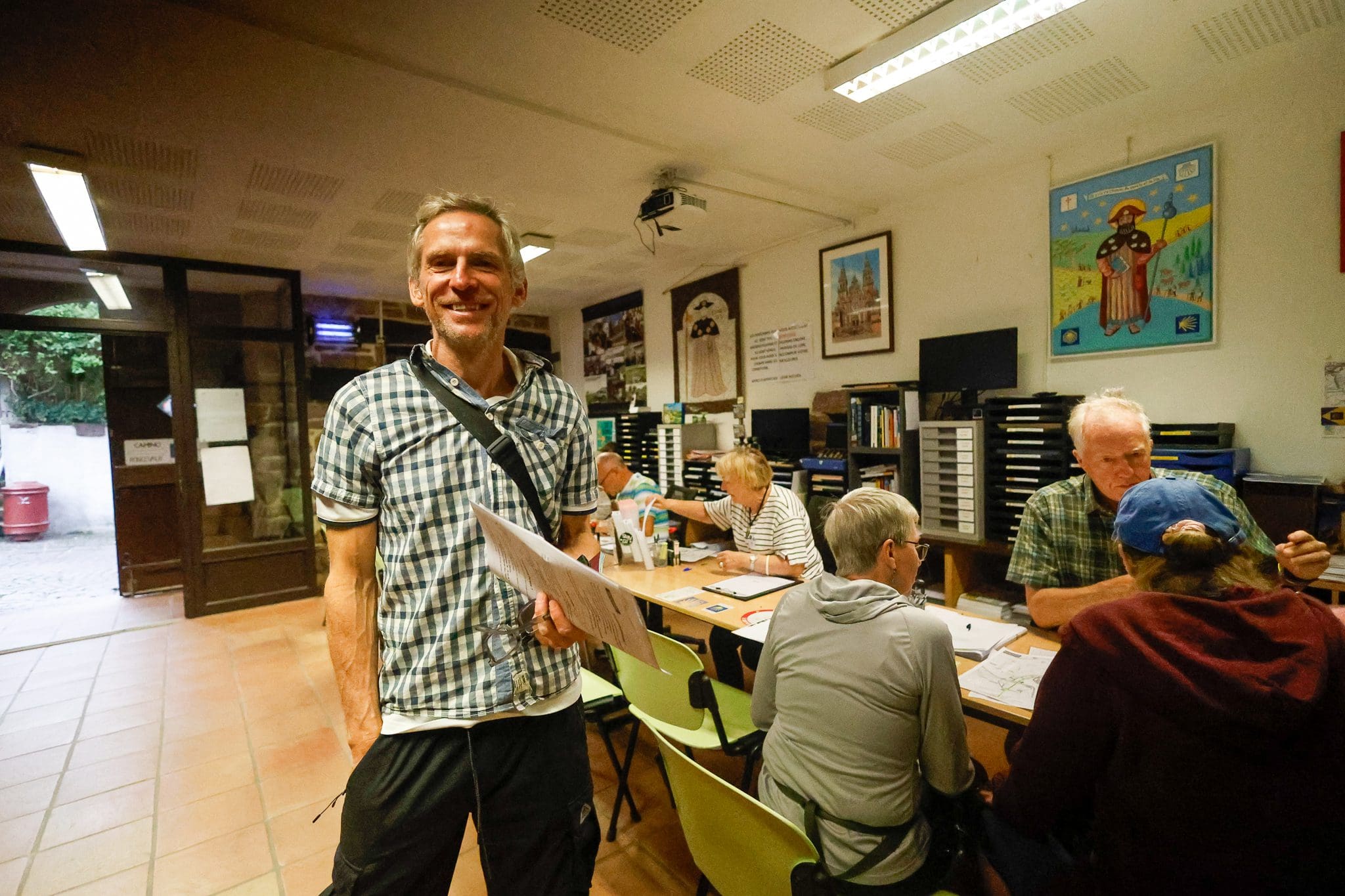
The office sits at the top of Rue de la Citadelle, about a ten-minute walk from the train station. It’s run by volunteers who give their time simply because they love the Camino and want to help other pilgrims. Every volunteer has walked the route themselves, so take on board their advice, offered in multiple languages.


Don’t worry if there is a queue when you arrive. It is all part of the experience. People from all over the world gather here, swapping stories, comparing backpacks, and quietly wondering what they have signed up for. The office is usually open daily from around 7 am to 8 pm, closing for lunch between 12 pm and 1:30 pm. They even have large scales where you can weigh your backpack, which can be slightly concerning when you realise how much you have packed.
After you’ve been to the Pilgrim’s Office, take some time to explore Saint-Jean. Here are a few things I would do: First, head up to the Citadel. As you leave the Pilgrim’s Office, turn left and walk about 100 yards uphill, passing through the arch at Porte de Saint Jacques, the old city gate where pilgrims from across France have entered the town for centuries. The Camino Francés is said to officially begin in Saint-Jean, but many pilgrims have already been walking for weeks, even months, across France and beyond before gathering here to cross into Spain via Roncesvalles.
The current citadel, finished in the eighteenth century, stands on the site of an older medieval castle. You can walk the full loop around it in about 20 minutes. From the top, the views are superb, with the town spreading out below, and the rugby pitches a small reminder that you are still very much in France.

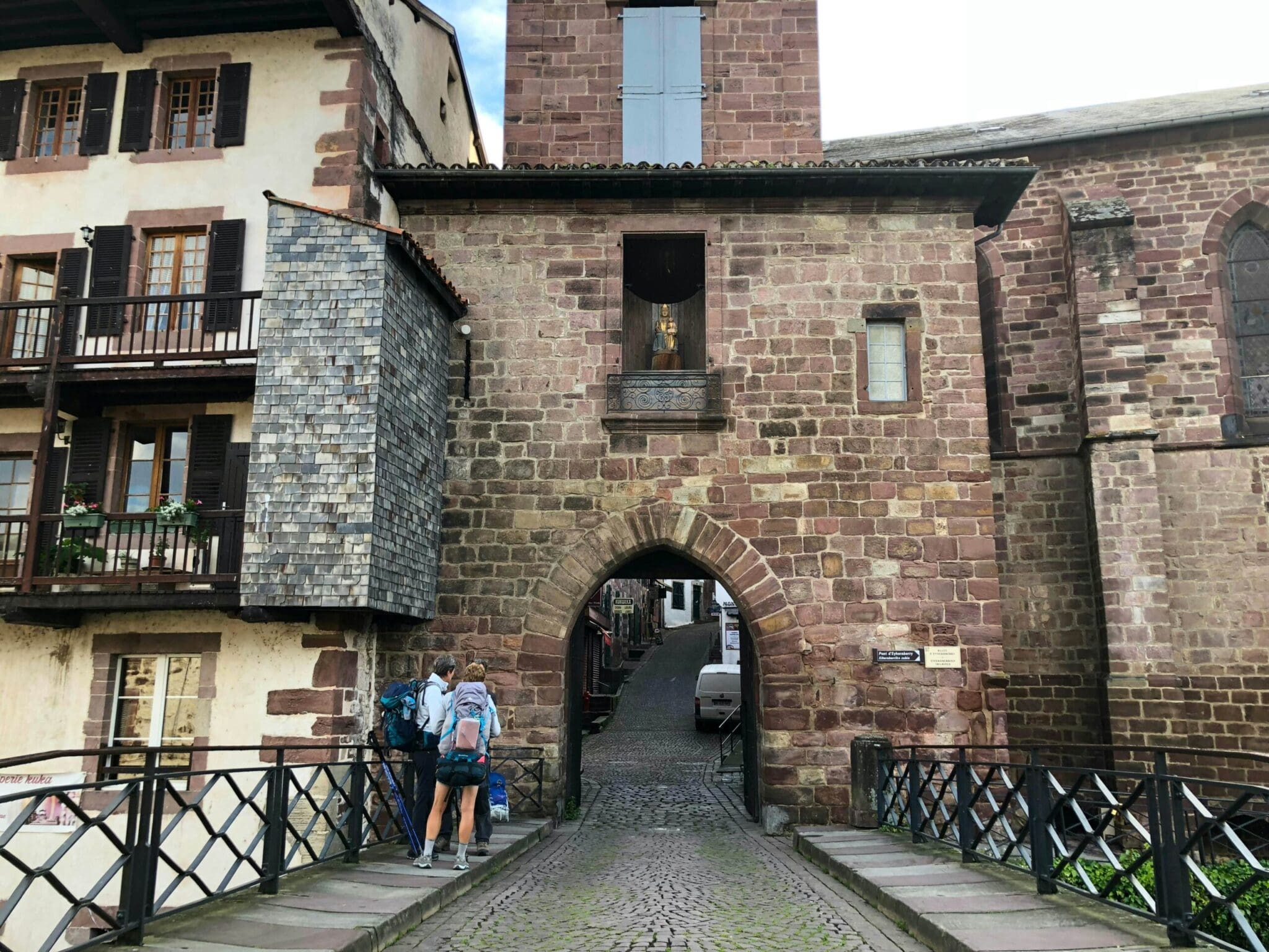
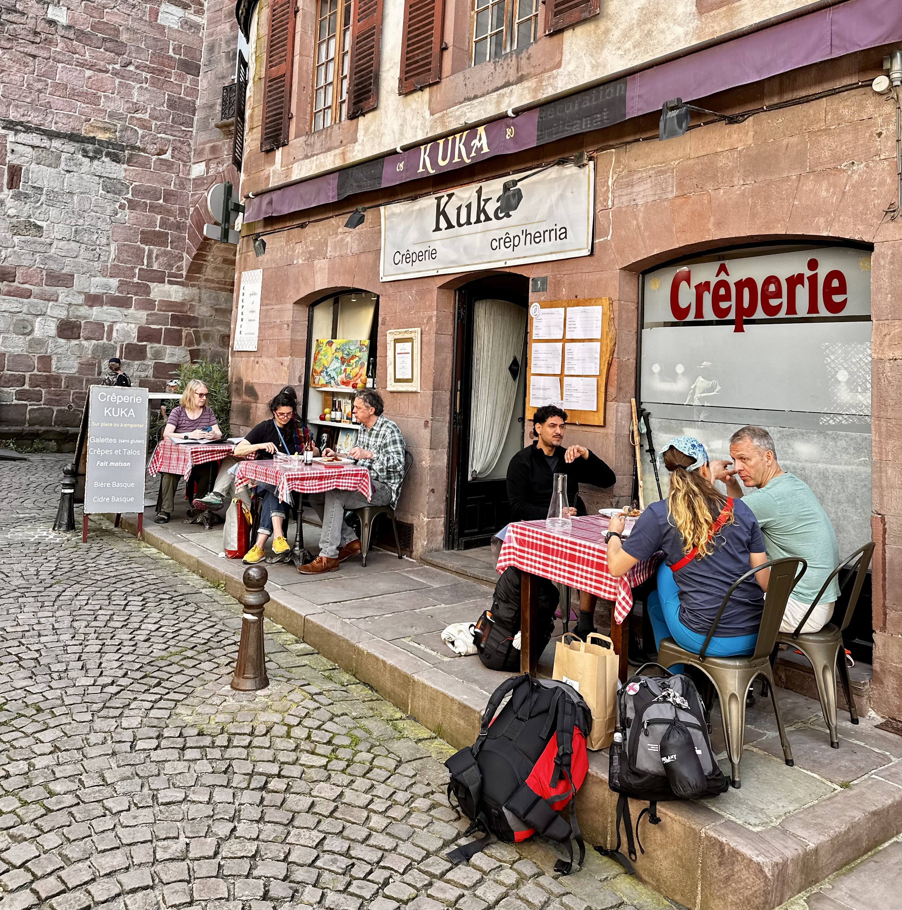
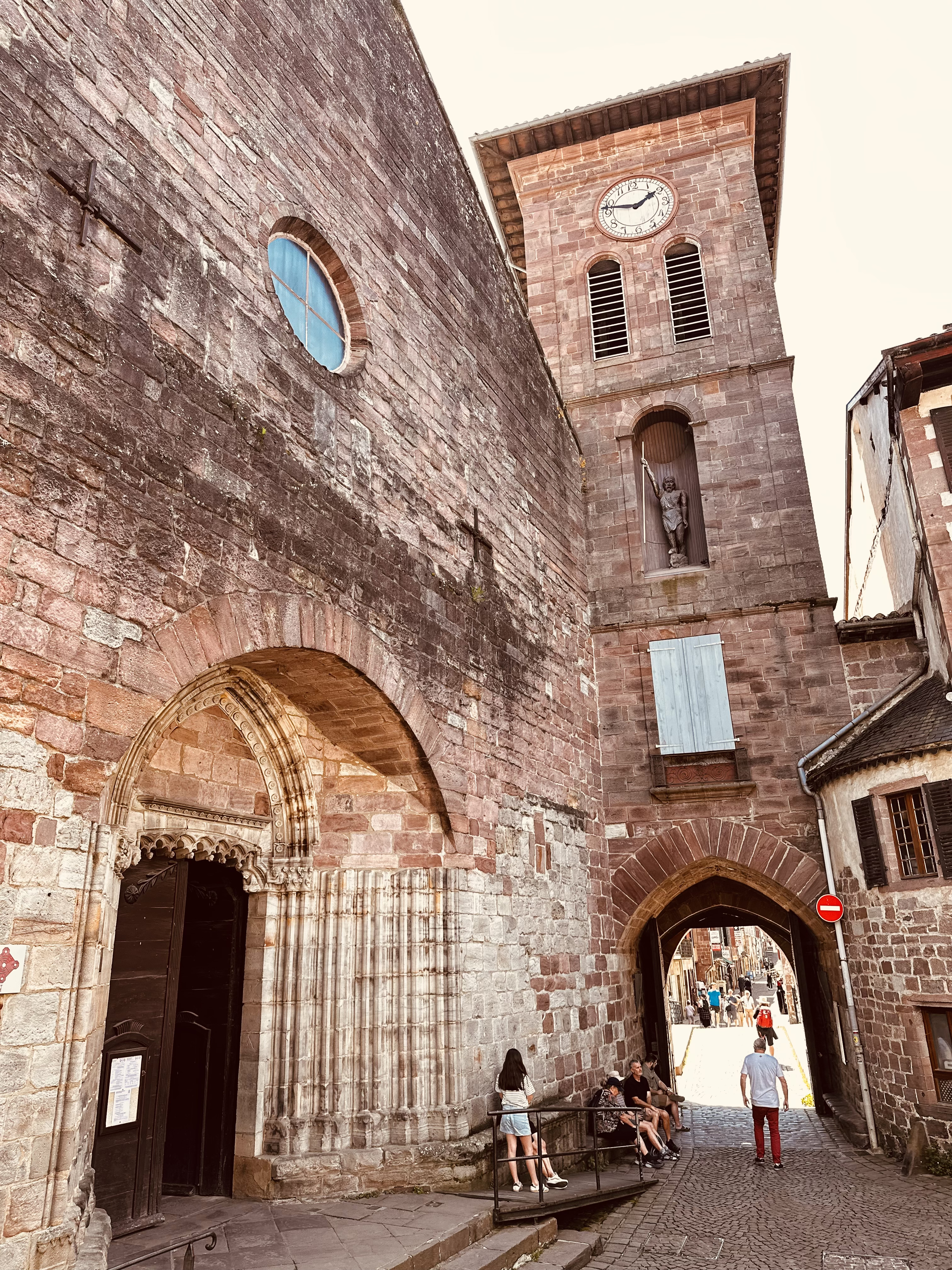
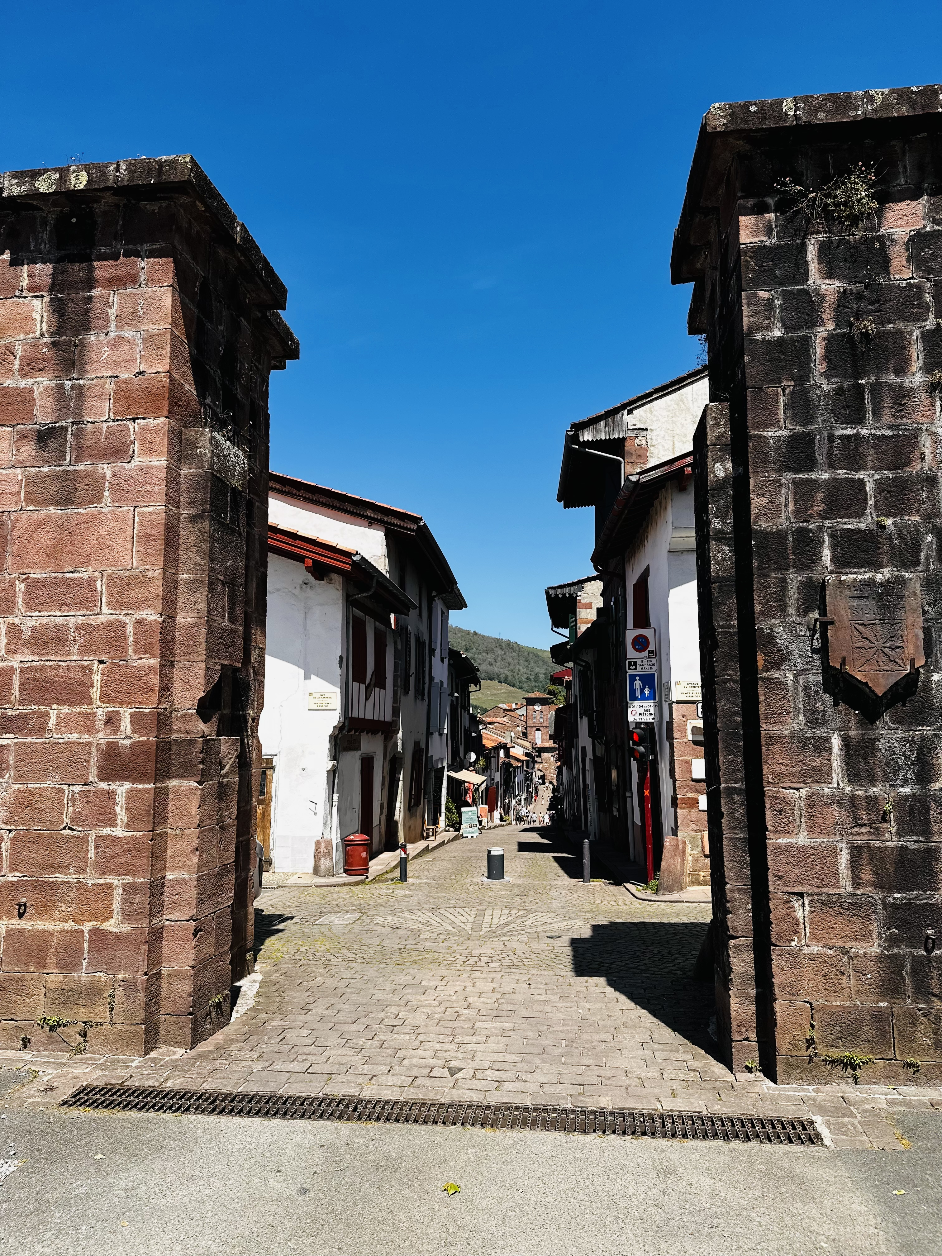
Next, walk back down the cobblestone Rue de la Citadelle, past the pilgrims’ office. The street is humming with excitement, lined with albergues, outdoor stores, cafés, and the odd ice cream shop. At the end of the street on the left is the Church of Notre-Dame du Bout du Pont (Our Lady at the End of the Bridge). Step inside this elegant 14th-century Gothic church for a moment of quiet before the road ahead. Just beyond the church, you pass through the Porte de Notre Dame and across a beautiful old stone bridge over the River Nive. It is a great spot for a photo!

There are lots of restaurants in Saint-Jean, but my favourite is Restaurant Oillarburu, a quaint little spot tucked away in the old town near the church. It serves delicious, authentic traditional Basque cuisine made with fresh, locally sourced ingredients. I highly recommend the trout. Fans of the movie The Way might recognise it as the restaurant where Tom and Joost first meet. By the way, I’m a big fan of the film, so again, forgive me if I can’t help pointing out the filming locations throughout this guide. One quick tip: go early or, better yet, book ahead, as this place fills up fast.

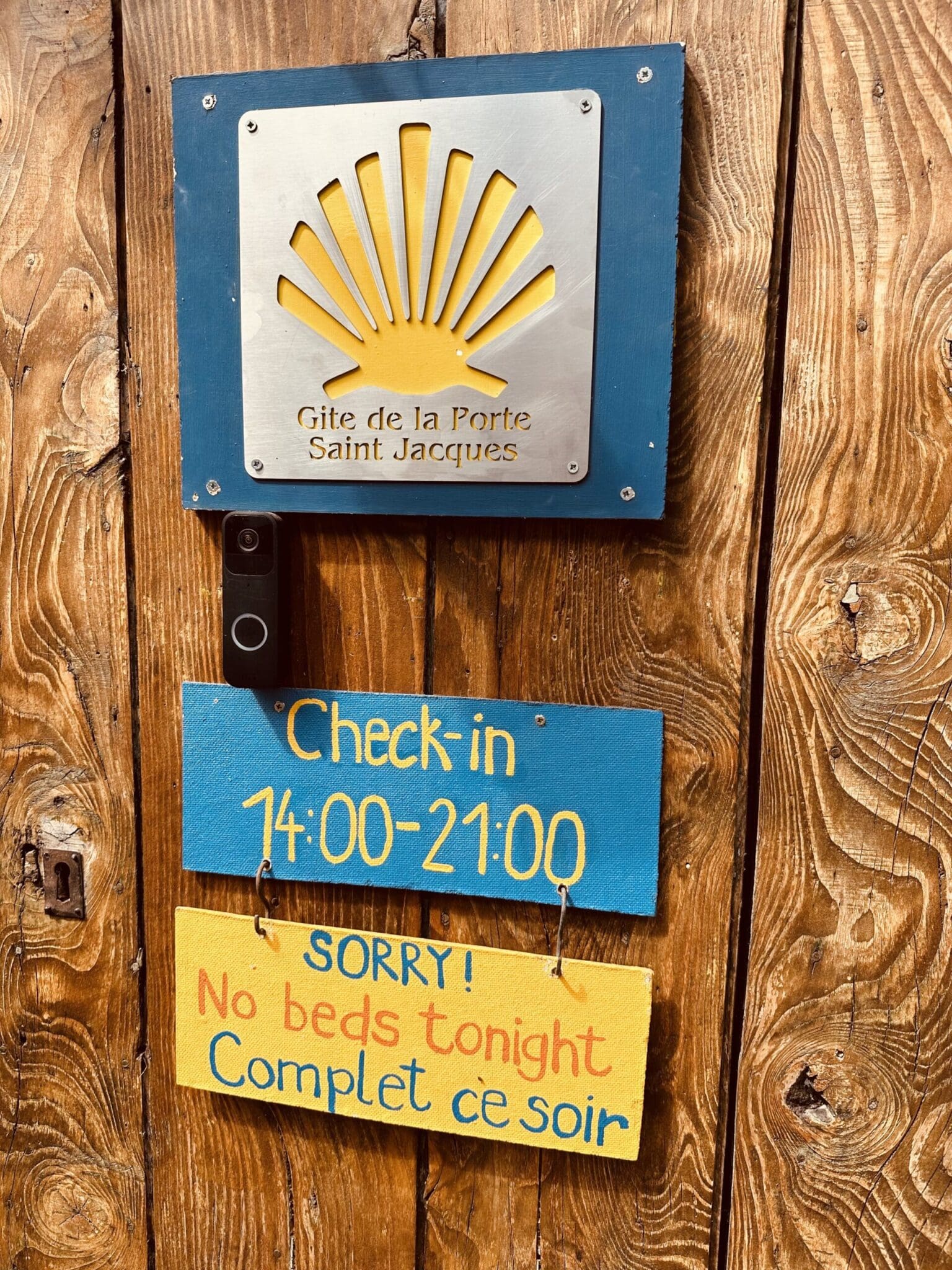
Saint-Jean offers plenty of accommodation options, from albergues to small hotels. Two of my favourites are:

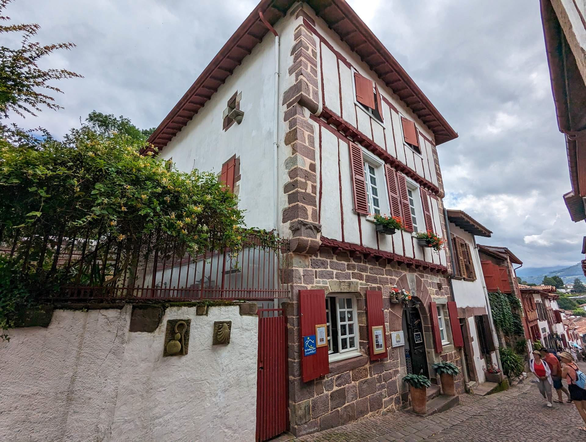
Gîte Beilari, located almost directly across from the Pilgrims’ Office, is one of the most welcoming places to stay on your first night on the Camino. The gîte (that’s what they call albergues in France) feels like being welcomed into a cosy Basque family home. Joseph, the owner, is a great host, and evenings are spent around a shared dinner table, swapping stories with fellow pilgrims.
Gîte de la Porte Saint-Jacques, just a little further down the street, is equally special. Hosts Karin and Axx are wonderful, serving communal dinners on the terrace with gorgeous mountain views as a backdrop. The gîte itself is a beautifully renovated old townhouse, complete with a peaceful meditation room. In the morning, before pilgrims head off, there is a lovely little send-off ceremony with lots of hugs all round, and John Denver playing softly in the background. It sounds kind of corny until you actually experience it.
Quick tip: I’m not usually a fan of booking accommodation too far in advance; I prefer to go with the flow and see where the days take me. But for Saint-Jean, and really the first couple of days, I’d make an exception. It gets busy, and you probably won’t be in the Camino rhythm yet. I’d just book those first few nights as soon as you book your flights to Spain.
Worth knowing: On a clear day, the views are breathtaking, but the weather at this altitude can change in minutes. Sunshine can quickly give way to fog, rain, strong winds, or even snow, so always check the forecast and carry warm, waterproof layers. Between 1 November and 31 March, the Route Napoléon is officially closed due to snow, so you’ll need to take the lower Valcarlos route instead.
As I mentioned earlier, there are two routes from Saint-Jean to Roncesvalles. Most pilgrims take the legendary Napoleon Route, named after the troops who marched this way in 1808 on their way to fight the British in Portugal. The alternative Valcarlos route follows the valley road and is a little less demanding, though no less beautiful.
Apparently, Napoleon’s army had that easier valley road available to them, but they chose the harder mountain crossing anyway. The reason? In 778 AD, the French were famously defeated here, and evidently, the French have a long memory, because over a thousand years later, their battle-hardened army still preferred to haul itself over a mountain rather than march through that same valley.
Orrison
772 km (480 miles) to Santiago
Let me start with the Napoleon route:


You’ll leave Saint-Jean through the gate of Porte d’Espagne, taking your first steps on the Camino de Santiago, with the towering Pyrenees ahead. The first 8 km are a strenuous uphill slog, mainly on a narrow paved road, before you transition onto mountain trails. Along the way, you’ll pass the tiny hamlet of Honto, which also has an albergue, before continuing up. After about 8 km, you’ll round a bend and spot the Albergue Orisson, a very welcome sight after the steep ascent.
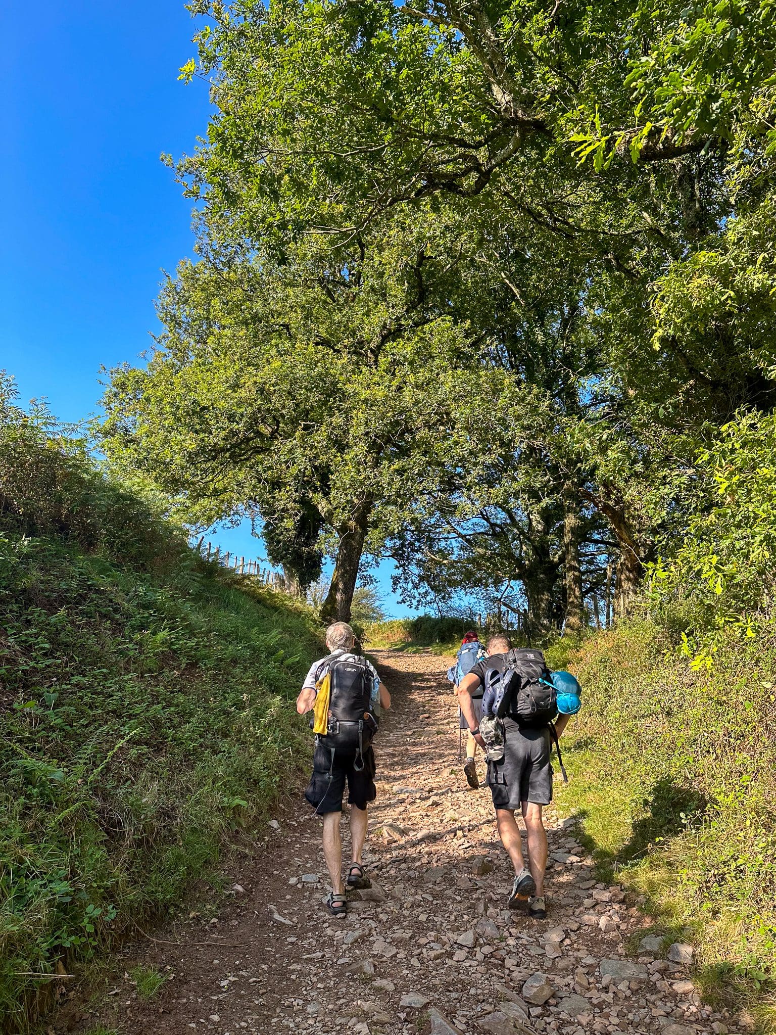

Orisson is a legendary stop on the Camino. This gîte has around 40 bunk beds and a handful of private rooms. Lots of pilgrims choose to split up the tough first stage by staying here, and it’s easy to see why. They host a famous communal dinner where everyone introduces themselves and shares why they’re walking. You’ll meet people here who might become lifelong friends, or at least familiar faces for the weeks ahead.
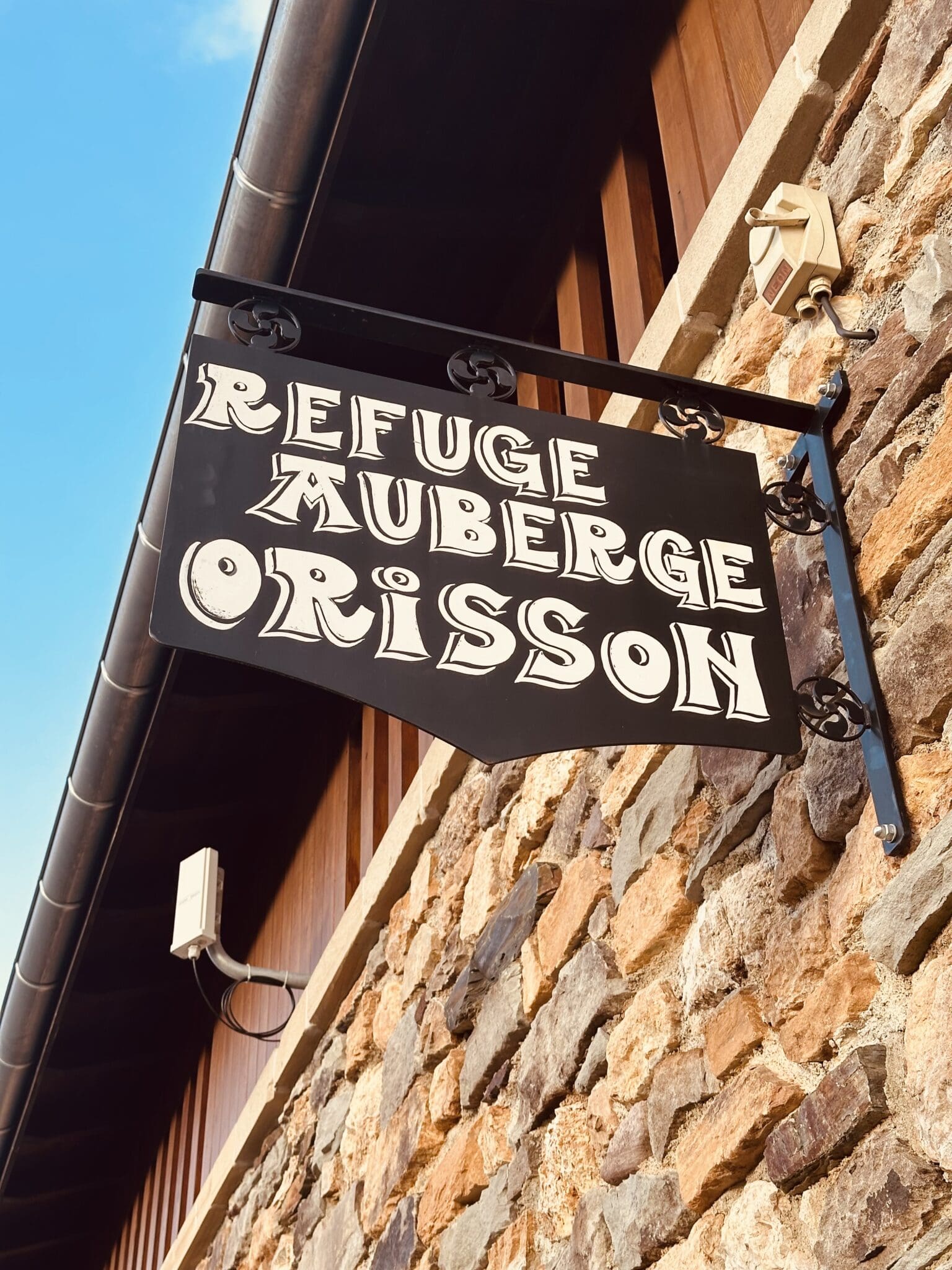

Since it’s still in France, Orisson is a bit more expensive than your average albergue. A bed with dinner will cost around €50, or about €120 if you go for a private chalet instead of the dorm. It fills up fast, sometimes months in advance, so you need to book. Even if you’re pushing on to Roncesvalles, you’ll likely stop at Orisson for a well-earned break. They have a great deck out front with incredible views of the valley below, making it the perfect place to enjoy a café con leche and a croissant before continuing your climb. Remember to fill up your water bottles before leaving Orisson.
Just a kilometre up the road is another wonderful gîte, Auberge Borda. Quieter than Orisson, it has just 10 beds in a beautifully restored shepherd’s hut, with a cosy, modern interior and sweeping views. The host, Laurent, couldn’t be more hospitable, and the whole place has a relaxed and homely atmosphere. The communal dinner is a real highlight too; a delicious three-course meal. Laurent served us a hearty beef stew when I stayed.
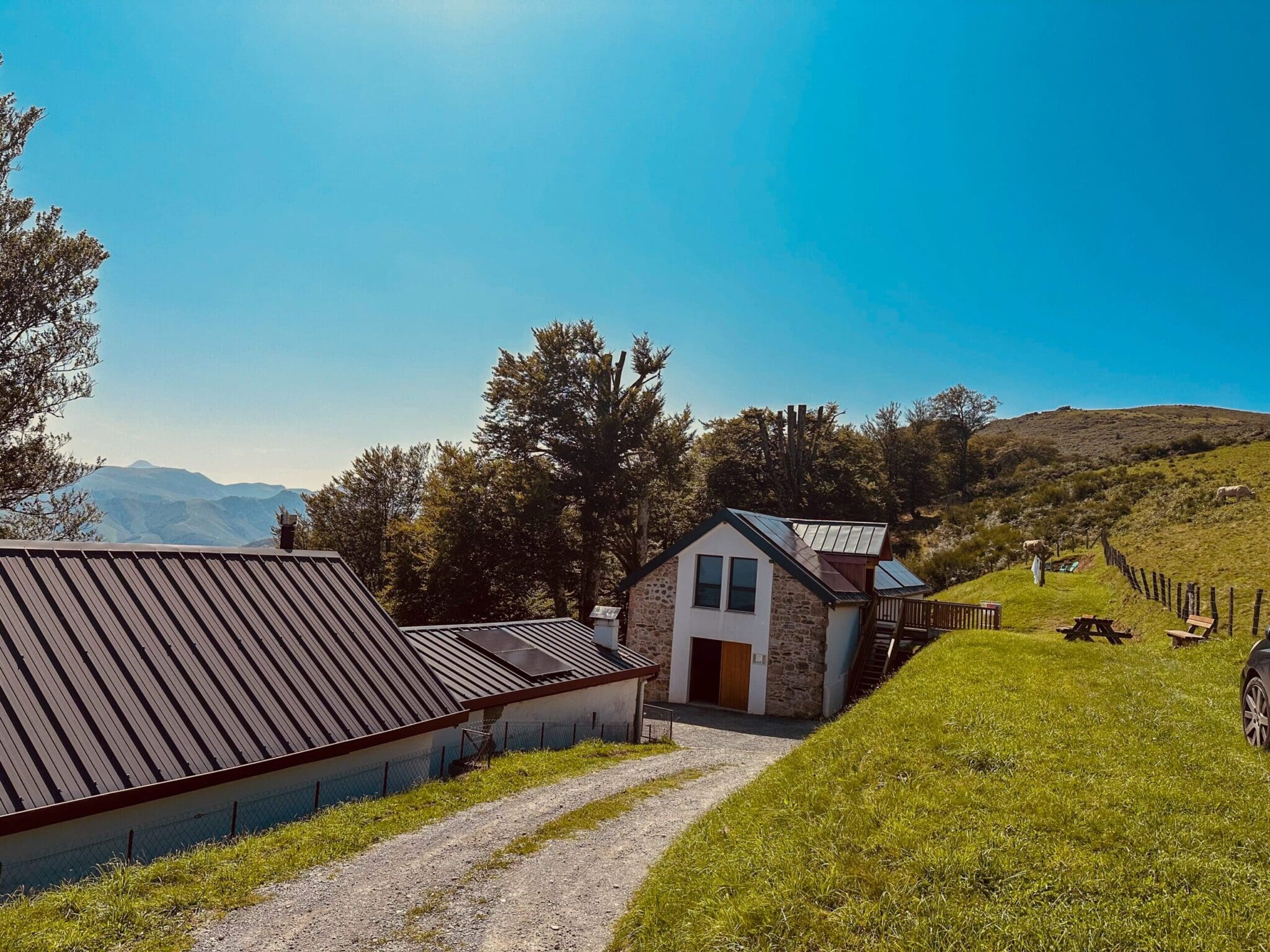
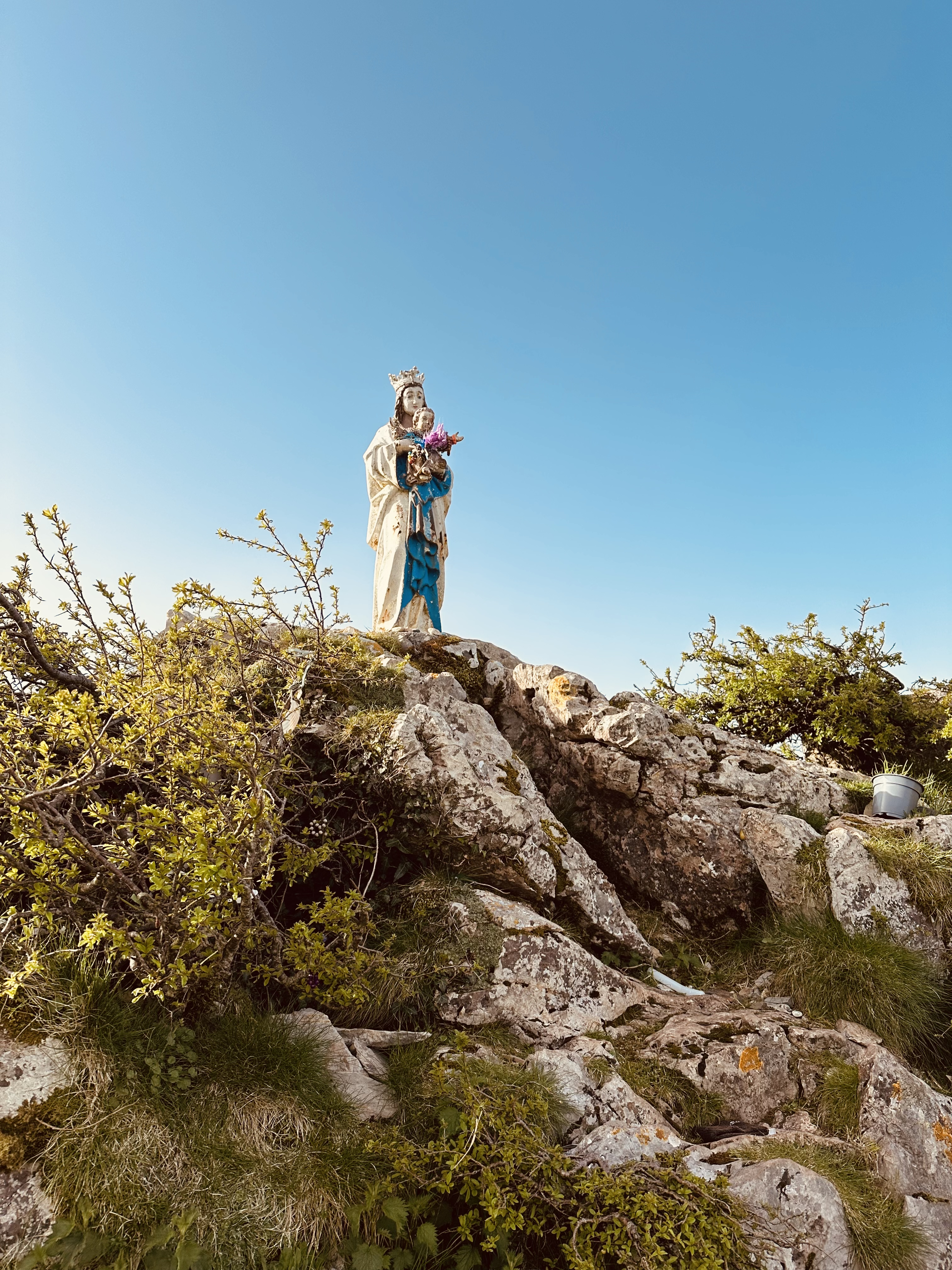
The climb continues up into the Pyrenees, where flocks of sheep and mountain horses graze peacefully along the path. Keep an eye on the sky for buzzards and eagles soaring overhead, while griffon vultures perched in the distance look like they’re sizing up an unlucky pilgrim. As you climb, look out for the locally revered little statue of the Madonna, perched above the path. Many pilgrims stop here for a moment of quiet reflection. The stone windbreakers scattered around up here were built to shelter animals from the harsh winter elements, but they also make a very welcome refuge for pilgrims, offering protection from the wind and rain, or shade on a hot summer day. There is usually a food truck parked at about the 15km mark.
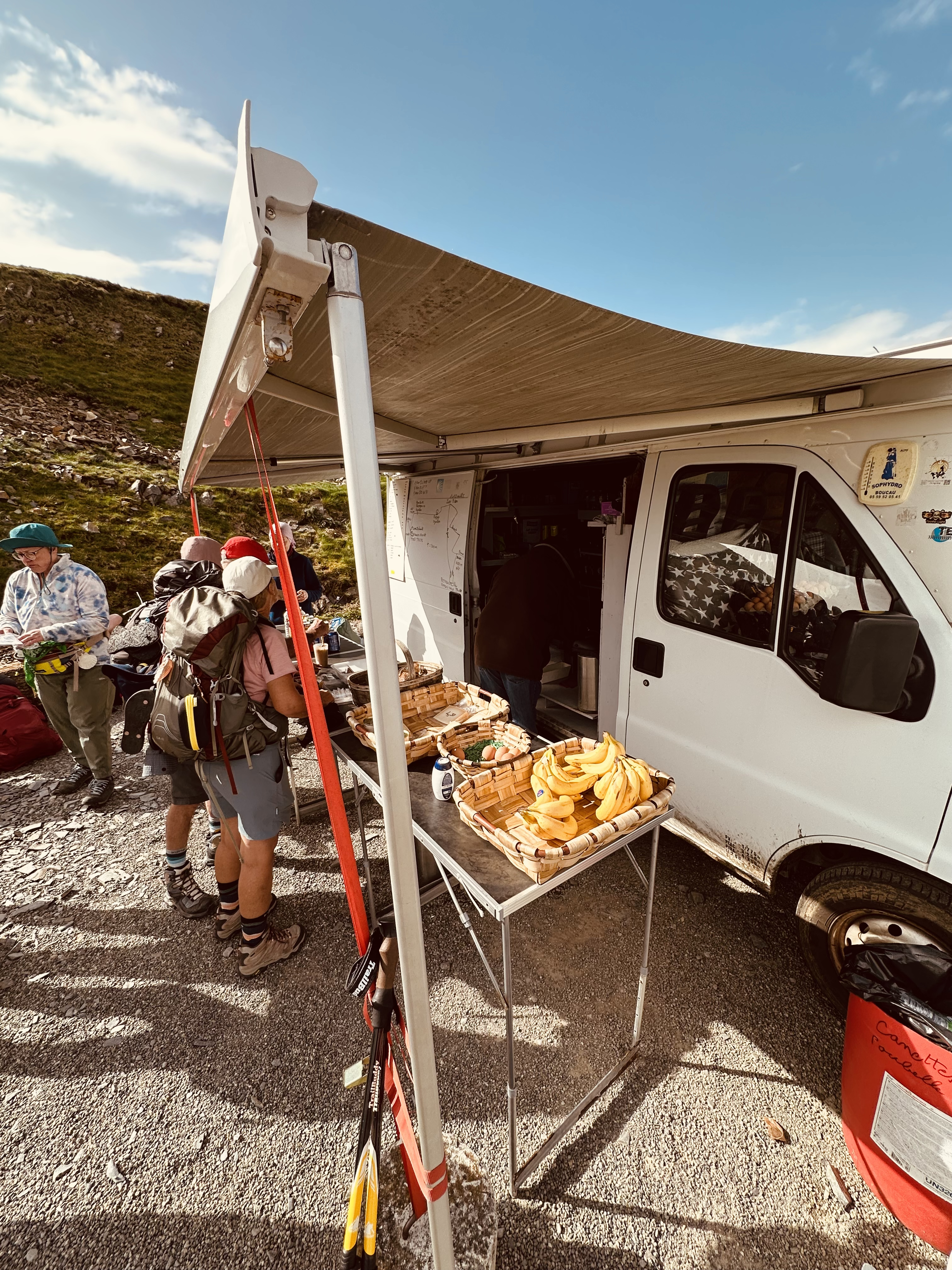

As you press on, the open mountain trail continues towards Roland’s Fountain, a simple stone fountain near the border. Shortly afterwards, you cross from France into Spain with almost no ceremony: no large welcome sign or passport checks, just a cattle grid marking the boundary.


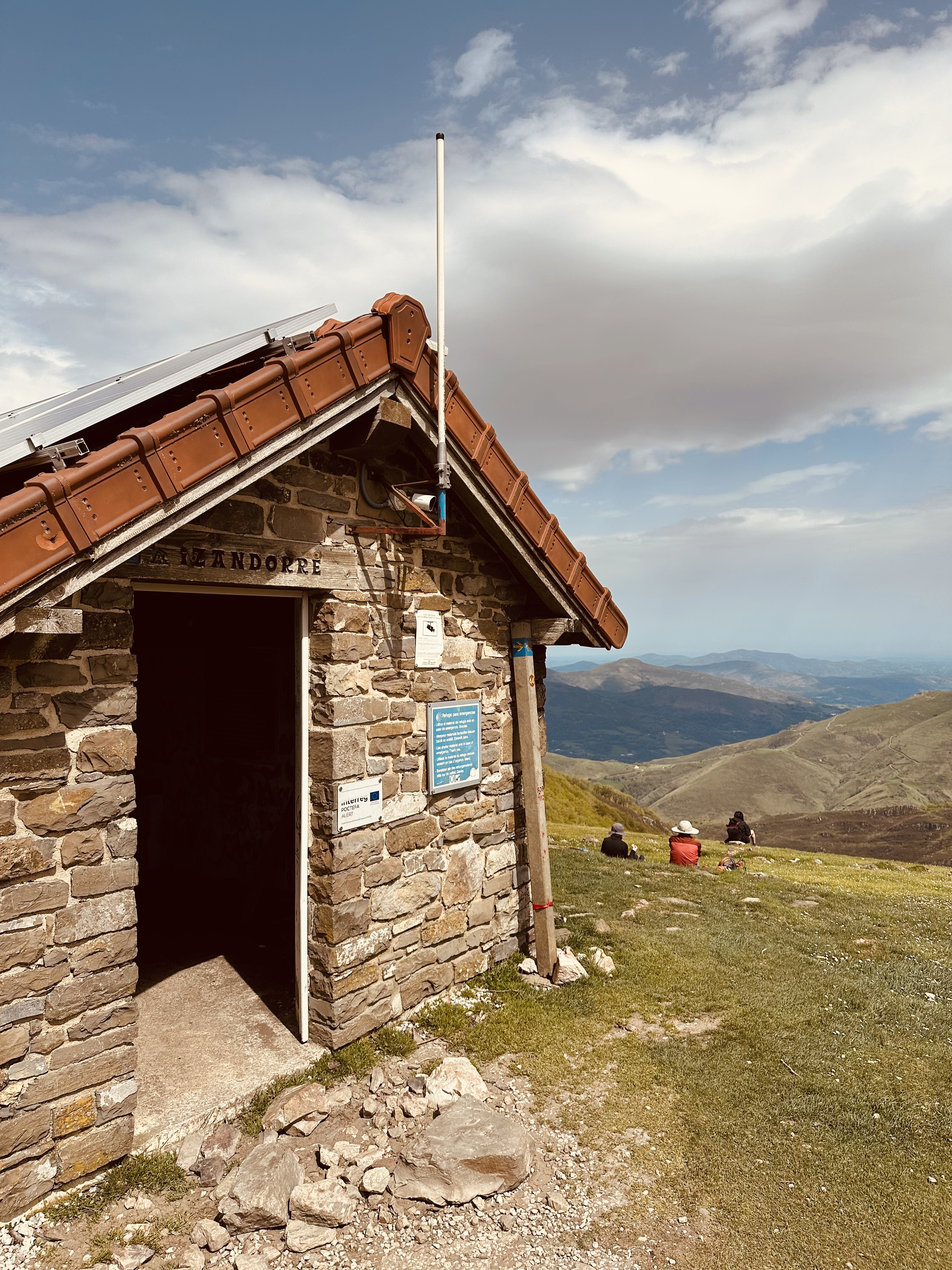
After that, the trail climbs again through peaceful beech forests before opening out into expansive mountain views. You’ll pass the small, unstaffed Refugio de Izandorre, an emergency shelter that could prove invaluable in bad weather, before continuing uphill for roughly 2 km to Col de Lepoeder (“Pass of the Beautiful View”), sitting at 1,450 metres (4,757 feet).
From the col, the path descends down into Roncesvalles, and you’ve got two options for the final descent. The first option, the one you will probably be warned about back at the pilgrim’s office, is a steep, rocky trail through tall birch trees. It’s a bit tricky underfoot, so be careful, especially when wet. The other option is an easier winding gravel track that takes a bit longer.

Whether you’ve walked from Saint-Jean or started at Orisson, the monastery in Roncesvalles will be a welcome sight.
Valcarlos
770 km (478 miles) to Santiago
The Valcarlos route is a gentler, lower-mountain alternative from Saint-Jean to Roncesvalles. Rather than climbing straight over the high Pyrenees, it follows the road through the village of Valcarlos, rising gradually toward the Spanish border at Luzaide. It’s still a long day, but the gradients are far more forgiving.
Similar to the Napoleon Route, you leave Saint Jean through the Porte d’Espagne, but instead of turning left after 100 metres, you turn right onto Chemin de Mayorga and continue uphill. You’ll also see a sign here marking this as the route for cyclists. The first 8 km to the village of Valcarlos is a steady valley walk beside a winding road that passes farms, forests, and some scattered clusters of houses. Valcarlos itself is a small, peaceful border village with a few albergues and guesthouses, and is a good option if you want to split the stage and ease into the Camino gently.
From Valcarlos, it’s about 17 km more to Roncesvalles, and this is where the climbing really starts, though it’s never too punishing.
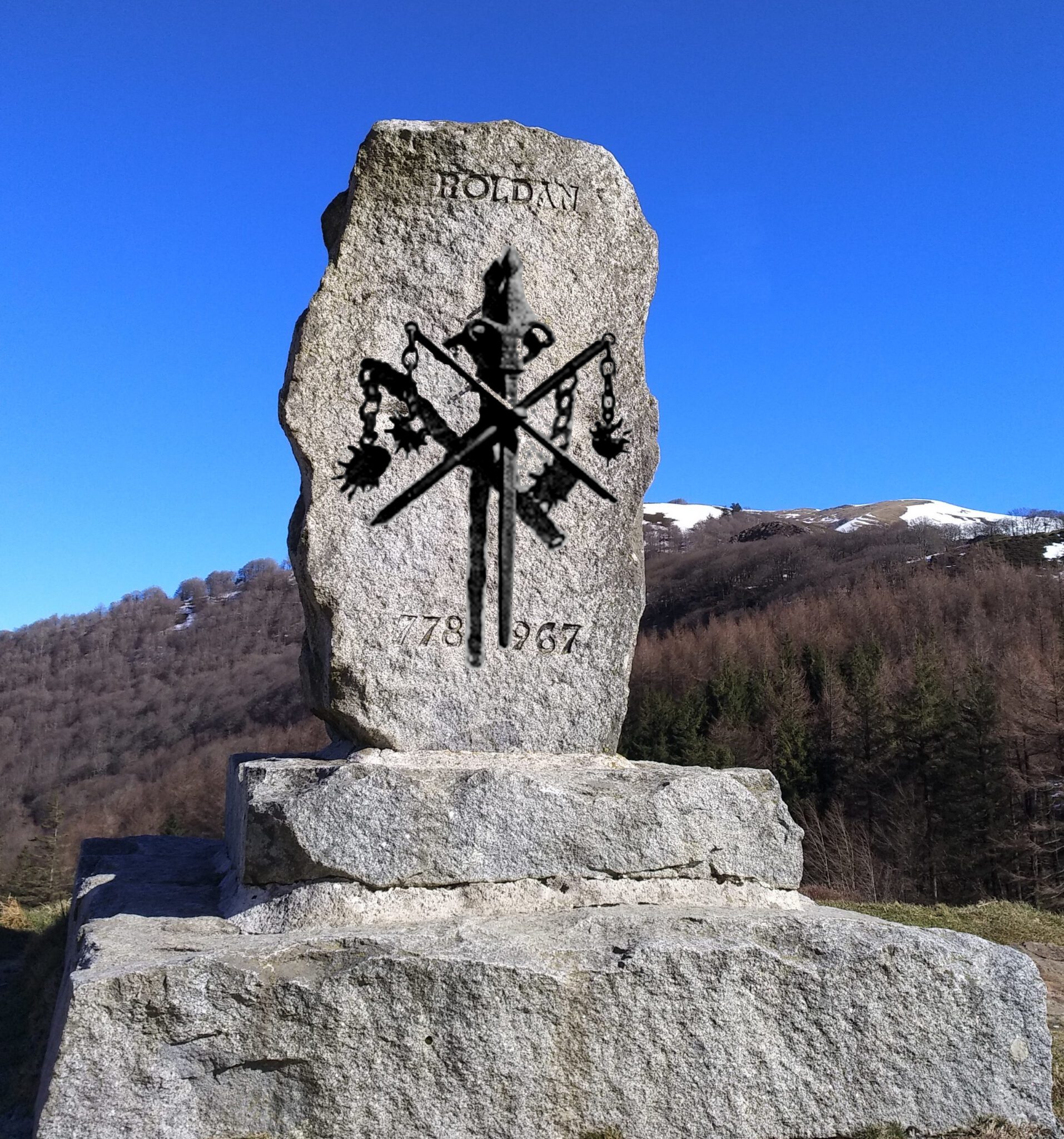
Along the way, you’ll pass a simple monument that marks the site of the famous Battle of Roncevaux Pass in 778, which, as I already mentioned, did not go well for the French. This is where Charlemagne’s army was ambushed in one of history’s great military disasters.
Charlemagne was a Frankish king who had once again reunited much of Western Europe under a single rule, roughly 300 years after the fall of the Roman Empire. He was returning to France after a rather unsuccessful adventure into Spain, when the Basques or the Moors, depending on who you believe, ambushed his forces. His favourite nephew, Roland, who was leading the rear of the army, was killed at the battle.
The story goes Roland refused to blow his battle horn to call for help, believing it would be a sign of weakness. It turned out not to be Roland’s best decision. According to legend, before he died, he hurled his magical sword, Durendal, into the rock to stop it falling into enemy hands. The defeat inspired The Song of Roland, one of the oldest and most celebrated works in French literature.
From there, the path rises gently through woodland before joining back up with the Napoleon Route just outside Roncesvalles.
Roncesvalles
754 km (469 miles) to Santiago
Roncesvalles is less a village than a monastery with a handful of taverns clustered around it. For nearly a thousand years, monks cared for pilgrims here, a tradition that continues today, though the operation is now run by a Dutch confraternity. A major renovation about a decade ago brought the accommodation firmly into the modern era, with around 200 beds arranged in small cubicles.


Even though it’s a large albergue, it can still fill up during peak times. That said, the hospitaleros are great; they’ll make sure every pilgrim has somewhere to sleep, even if it’s not a proper bed. You can book online in advance to be on the safe side. Last time I did that, I ended up with one of the much-coveted beds in the airy attic, not sure if it was because I booked ahead or just lucked out. Otherwise, you’ll likely end up in the big bunk rooms on the lower floors with everyone else. A bed costs €15, and for €14 you can pay for a pilgrim’s dinner at one of the two bars in town when checking in. They’ll hand you a ticket with an allocated dining time, as the bars have to stagger sittings to manage the crowds.
The two bars are Casa Sabina and La Posada. Both bars also offer accommodation, albeit at a higher price than at the monastery.

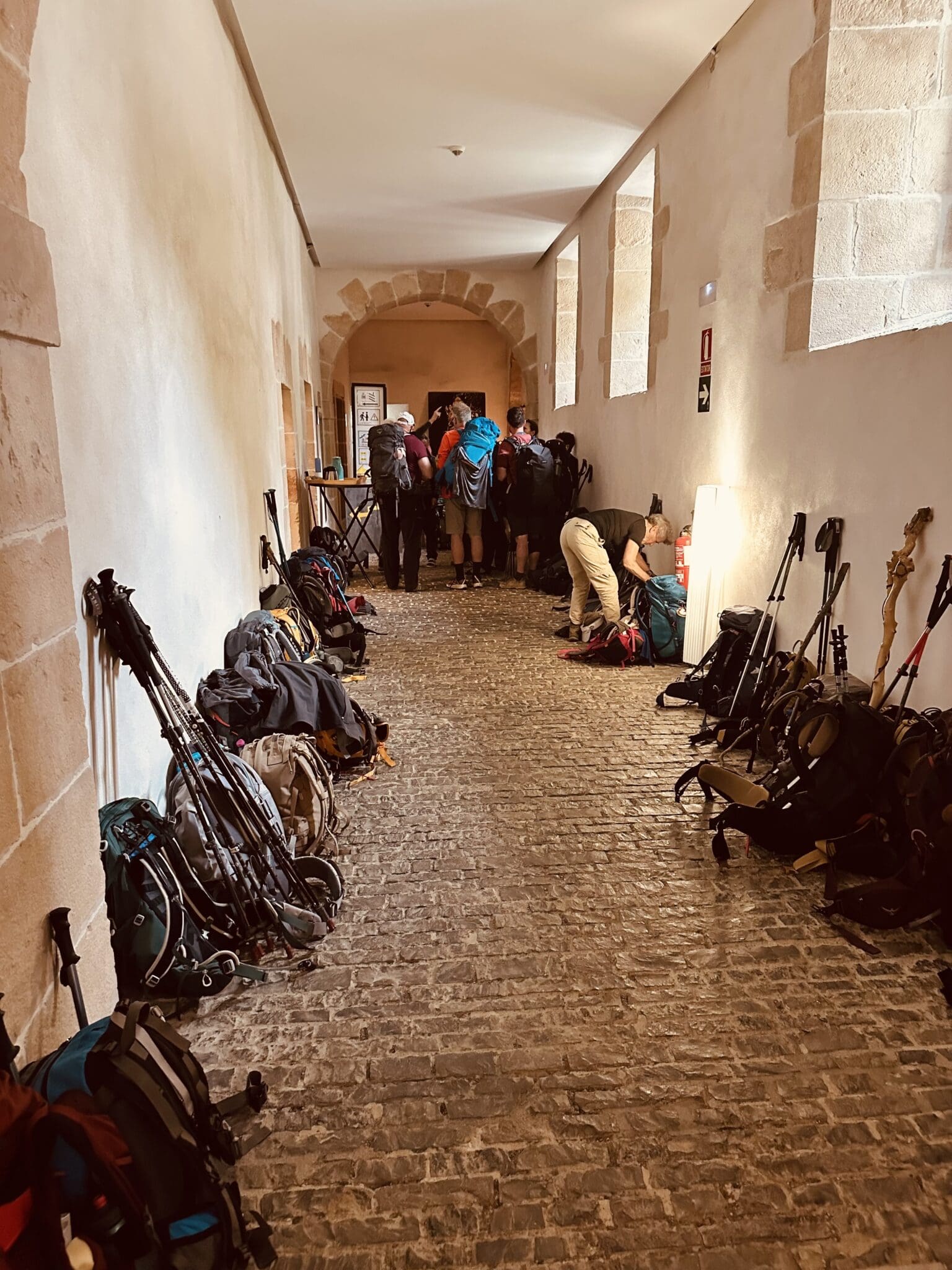
La Posada (The Inn) has been around for more than 400 years. If you’ve seen The Way, you might recognise it as the noisy, dingy albergue where Tom spends his first night, but in real life it’s much nicer. It’s also one of my favourite spots anywhere for a cold beer. Just order from the little hatch on the side, grab a seat outside, and watch the world go by. You’ve earned it.
Every evening at 8 pm, Mass is held in the church beside the albergue, followed by a pilgrim blessing. Try to book an early dinner seating so you don’t miss it. Even if you’re not particularly religious, it’s a genuinely moving experience. Along with the pilgrim services at Grañón and O Cebreiro, I think it’s one of the most special masses on the Camino.

Quick Insight
The Codex Calixtinus, written in the 12th century, is one of the world’s first travel guides, like a Lonely Planet for the medieval world. The guide to the Camino was said to have been written by Pope Calixtus II. One slight problem: Calixtus had been dead for over a decade by the time it appeared. Most historians believe a French monk named Aymeric Picaud, who borrowed the Pope’s name to help with the marketing of his work, actually wrote it.
The guide was packed with useful information about the route, its churches, its shrines, and its saints, but it also gave the writer a chance to insult virtually every region and people he encountered along the way. He described the Navarrese as barbaric and filthy, including claims about mule-related habits that probably shouldn’t be repeated. While the Basques fared no better, with the writer dismissing many of their towns as dens of thieves and swindlers.
Ironically, this very insulting work became one of the most treasured manuscripts of the Middle Ages and helped put the Camino on the map. In 2011, this priceless book went missing from the Cathedral in Santiago, before eventually turning up a year later, stuffed in plastic bags in the garage of a disgruntled former cathedral employee. The original is now locked away safely in the cathedral library, but you can see a replica when you take the cathedral tour in Santiago.


Really enjoyed reading this and discovering more about the different towns and history along the way . We just finished our first leg from St.Jean Pied de Port to Estella and we’re hooked ! , I’ll be saving your guide for our next leg and be reading over the next few months . Really enjoyable and interesting thank you
Thank You..
Thank you. A great guide, I really enjoyed it. We start the Camino at the beginning of September.
Absolutely love this site, so much helpful info, also on the donativos. I’ll make sure to save the link. Thanks a quadrillon for all your work 🙂