
Ruta Dragonte
The most Epic day on the Camino


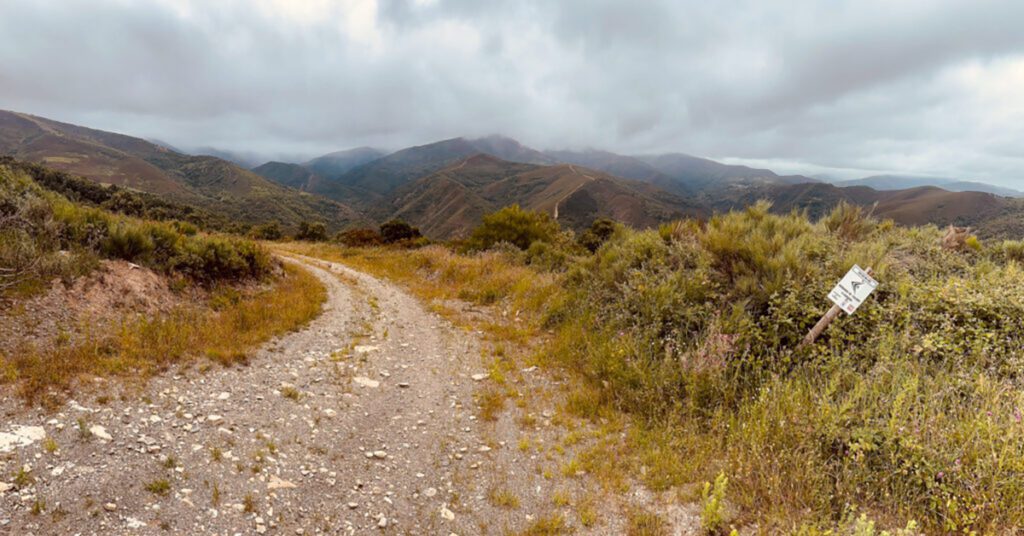
Every year, nearly 500,000 people walk the Camino, but fewer than 100 take on the challenge of the Dragonte Route. The Dragonte is for the truly adventurous pilgrim. The route is a 26+ km beast of a trek; it can take anywhere from 8 to 10 hours to complete and features three significant climbs. There are no services whatsoever along the way, just a few fountains, and you may not see a single soul all day, never mind another pilgrim. For American readers, today’s walking evokes the remote backwoods of Appalachia, think secluded trails with a few hidden hollers.
The route is tough and can be quite overgrown in places. There will be moments you may wish for a machete, but for those up for a challenge, it is absolutely worth it.
Before we start, a few things are worth knowing.
Don’t underestimate this route. It’s easy to get lost, so going solo probably isn’t the wisest idea.
I’ve updated the map to Wikiloc. Wikiloc is free to use; just download the Wikiloc app from the App Store or Google Play. It’s very easy to follow and will alert you if you wander off the trail. Wikiloc also offers a paid premium version, around €20 per year, which lets you download maps and use them offline. That can be really handy on the Ruta Dragonte, as mobile coverage can be patchy in places, so it’s best not to rely entirely on a data connection. I’ve also included a Google Maps version below, which works well as a backup.
In summer, bugs can be a nuisance, so pack repellent.
You’ll also encounter dogs as you pass through some of the abandoned villages along the way. They’re not used to seeing many walkers pass, so they may be more territorial than threatening than usual. Give them a wide berth, avoid eye contact, and don’t do anything they might read as a threat. If needed, wave your hiking poles to assert yourself.
Finally, make sure you bring enough water and food before you set off.

Right, boots on, let’s go.
Villafranca del Bierzo
Start
Leave Villafranca by crossing the medieval bridge with its wrought iron railings. After the bridge, the road veers left; follow it for a few hundred yards, passing a stone convent on your left. When you reach Hostal Restaurante Méndez El Guardia, take a sharp left across another bridge. Most pilgrims will keep going straight here, so say your goodbyes, hopefully just for the day.
Cross the bridge and walk up a narrow, slightly hilly street. Continue for a few hundred metres until you reach the edge of town and a small roundabout.
Go straight through the roundabout and take the exit signposted for Corullón. It’s the exit just before the one that leads into the tunnel under the mountain.
Follow this road as it continues uphill for about 500m, then take the first turn off to the right onto a narrow paved road signposted for the village of Dragonte. This road is dead quiet; I’ve never had a car pass me on it, though I did once meet a road cyclist out for a spin who spent an eternity trying to convince me I was going the wrong way!
The climb is steep, but the views are incredible. The valley opens out to your left, while rustic vineyards cling to the hillside on your right as you make your way up toward Dragonte. Just take care, the road has no shoulder, so stay alert.


Dragonte
6.7 km / 4.2 mi
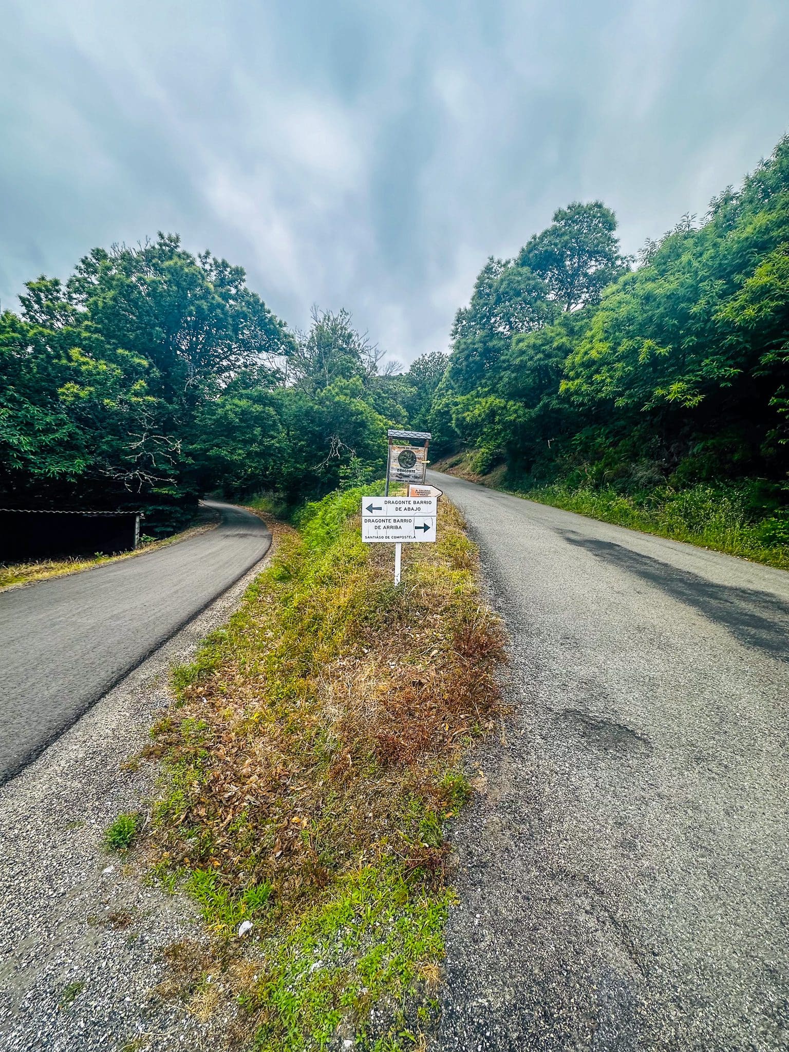
After 5.9 km (3.7 miles), you’ll reach a Y junction with a slightly confusing sign that seems to point to Dragonte in both directions. Stick to the right and continue uphill.
You’ll also pass a sign for a giant swing overlooking the valley. It’s only a 350m detour, but with a long day ahead, it’s easy to talk yourself out of it, don’t. The views of the valleys below are stunning and totally worth it.
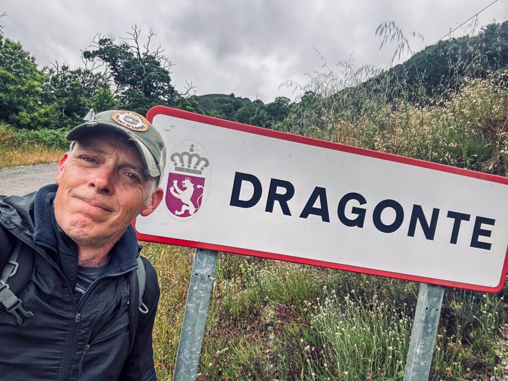
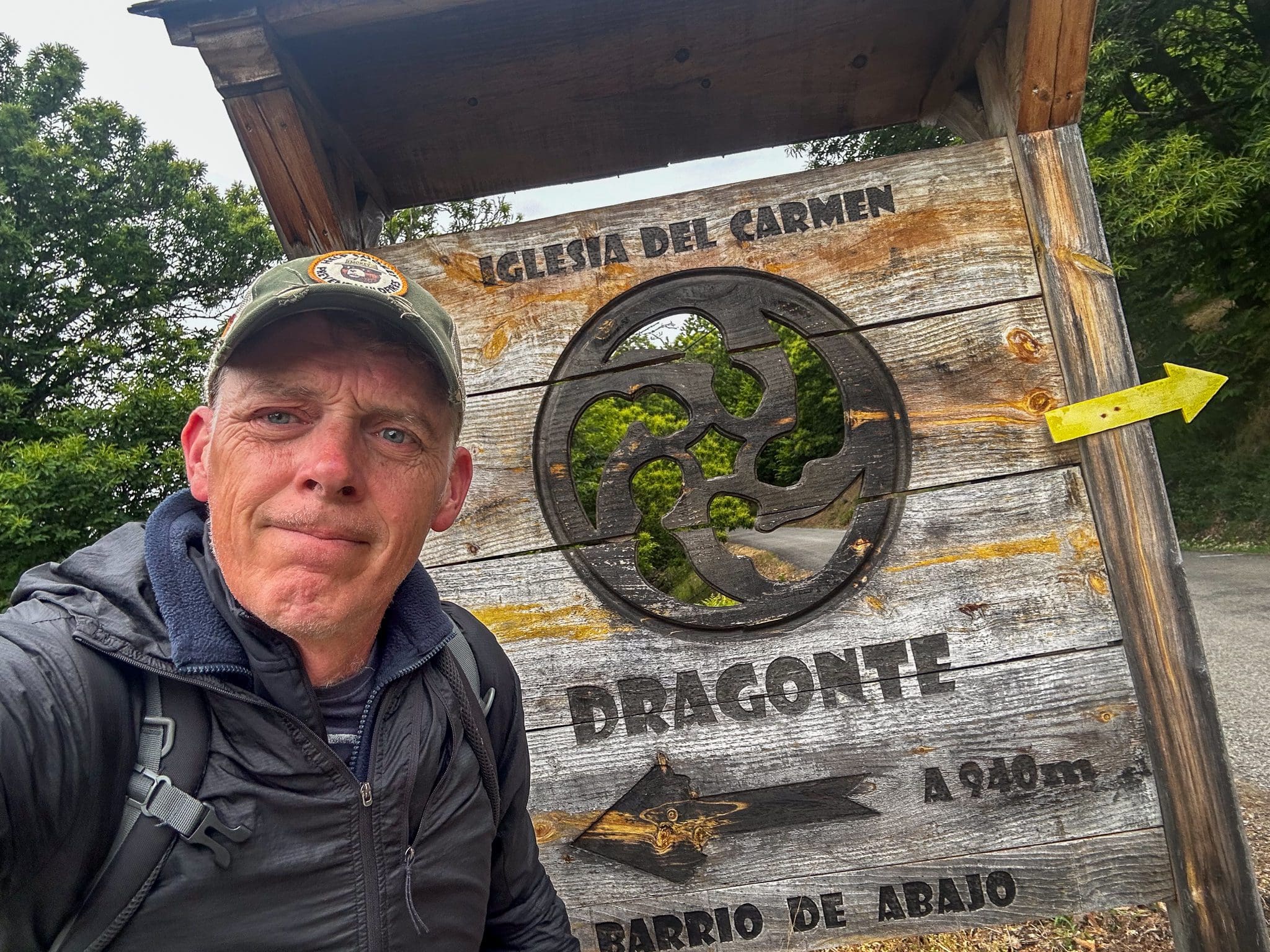
Continue for another 1 km, and you’ll arrive in Dragonte, the namesake of this route. There’s no shop or café here, but at the end of the village on your right, you’ll find the “Área de Descanso” in an old building used by local hunters and walkers.
There’s rarely a soul around, but the door is usually unlocked, and inside you might find a cosy fire going, fresh coffee brewing, and if you’re lucky, a fridge stocked with beer or a box of red wine.
You’ll also find the trail register here, so be sure to add your name to the list of intrepid hikers who have passed this way and stamp your credential with the very special and rare Dragonte stamp.


Moral de Valcarce
10.1 km / 6.3 mi
Leave the village and continue climbing, circling a quarry on your left. It’s a great spot to take a break with great views again.
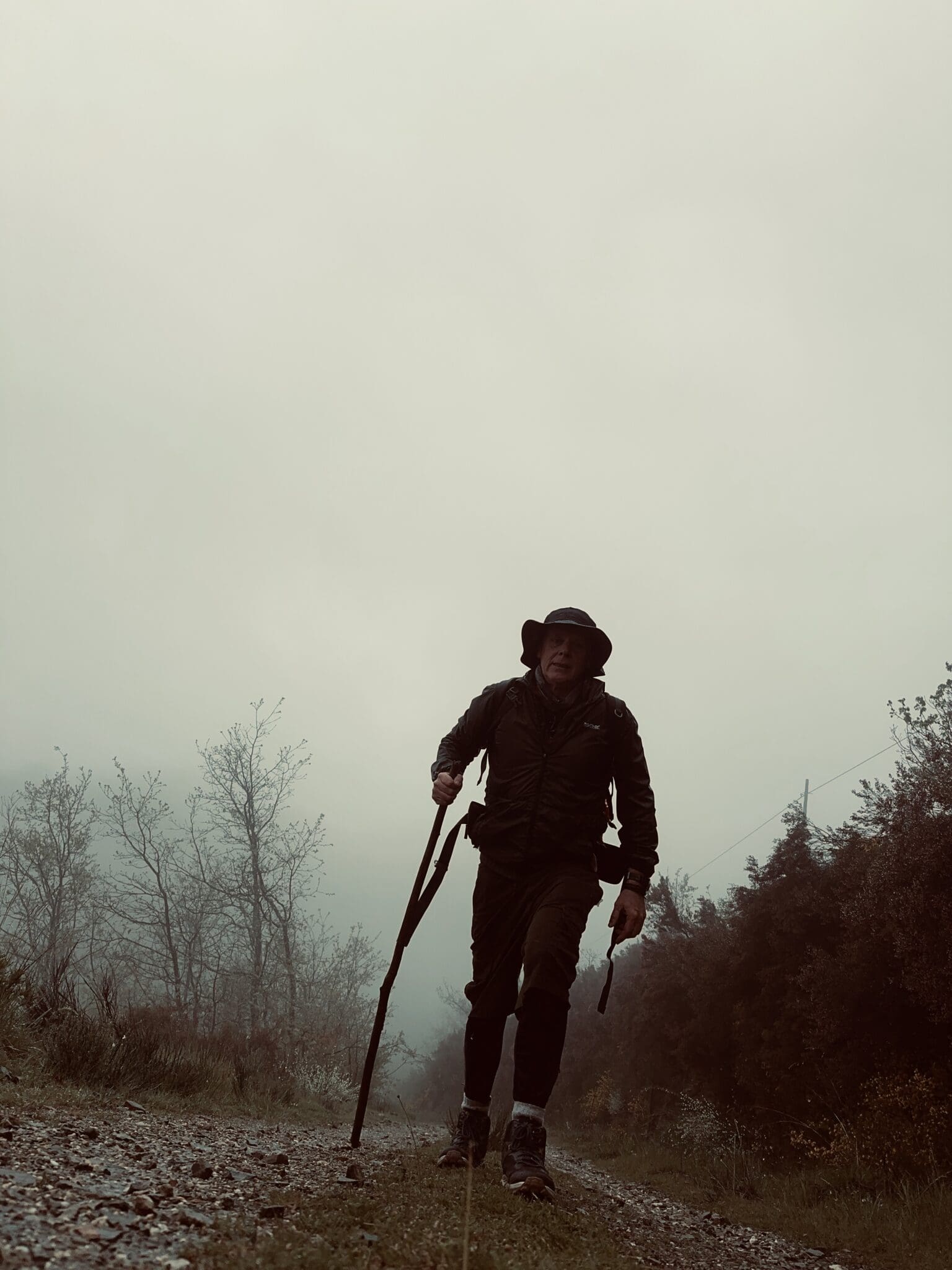
Continue past the quarry, and after about a km, pick up the rough path on the right-hand side of the road. Look out for a yellow ribbon or a stone arrow on the ground. From there, keep climbing through the scrub until you hit the first peak at around 1,060 metres (3,478 feet). Then descend along a goat path before merging onto a paved road, turning left towards the small hamlet of Moral de Valcarce.
If you’d rather skip the high point or simply miss the turnoff, no worries. Just stay on the paved road you’ve been following from Dragonte and it’ll reconnect with the path in a km or so, just before Moral de Valcarce.

Villar de Corrales
13 .0 km / 8.1 mi
This next stretch can get a bit confusing. You’ll make your way down the first mountain before climbing up the second towards the village of Villar de Corrales.
About 700 meters past Moral de Valcarce, you’ll reach a small Y junction. Stick to the left along a cow path. After about 200 meters, take a sharp right off the path into a chestnut forest.
The trail dips down towards a small stream, marking the low point between the two peaks. The forest is thick here, and the path can get overgrown, so it’s easy to lose your way. I once got turned around for nearly an hour and had to do some serious bushwhacking before I found my bearings again.
I think I got lost here because there are a few turnoffs along this section of the path, and they all look equally correct. With no arrows to guide you, I simply picked the wrong one. The trick is to keep corkscrewing down towards the river and ignore every turnoff along the way. You’ll know you’re on track as long as you’re descending towards the stream. Eventually, you’ll reach an old stone house by the river, a mill, I think, where you’ll find a green arrow and the word Santiago painted on the wall, pointing you right. At this point, the path turns into a small stream, ankle deep at most, but you’ll need to walk directly through the water for a few hundred feet before it turns back into a proper path.
From here it’s a solid climb up to Villar de Corales, a few kilometres of hard uphill as you emerge from the forest.
Villar de Corales feels almost abandoned, with just a few dogs hanging around who may not be too welcoming. There’s an old church in the village, and the first time I walked this route, I couldn’t resist climbing over the wall to take a closer look. The bell ropes hung low, so I naturally gave them a good tug. They rang out so loudly across the valley that they nearly made me jump out of my skin. Much louder than I expected, and probably echoing for miles.


San Fiz do Seo
17.8 km / 11.1 mi
Continue on; the path isn’t especially well marked, but this kind of feels liberating after weeks of following the yellow arrows. You’ll soon reach the top of the second peak of the day at around 1,046m (3,432 ft). It’s beautifully rugged and barren up here. From there, descend into the second valley along a steep, winding, rocky path.
At the 15 km (9.3 mi) mark, a few trails come together. Stay left and keep descending, winding your way around a quarry.
Eventually, you’ll reach a proper road, quiet, but stay alert. Turn right and walk along it for a few hundred metres, then take the first left, which leads uphill into the village of San Fiz do Seo. There are no shops in San Fiz do Seo, just a water fountain. If you need to rejoin the main Camino, simply follow this road back down into the valley for about 4.2 km (2.8 mi) to Trabadelo.
You’re often warned about dogs in these villages, as they can bark a lot, mostly because they’re not used to seeing strangers walking through, and you’re encouraged to carry a stick just in case you need to keep them at bay.
But the last time I passed through, I met the happiest sheepdog I’ve ever come across, who decided we would instead use my stick to play fetch through the village and beyond.
I’m fairly sure he would have happily walked all the way to Santiago with me if his owner hadn’t come looking for him.


Villasinde
21.8 km / 13.6 mi
After San Fiz do Seo, you will make your final mountain ascent. There is another short stream walk just before the third mountain.
After 21.8 km /13.6 mi, you will reach the village of Villasinde, the final village on the Dragonte route.
Continue through the village and up to the last high point of the day, which feels like the steepest climb yet. You’ll see a telephone mast at the top, and while the trail veers left just before the summit, the views are well worth pushing on for. The path down to Las Herrerías may not be signposted, but look out for a spring gate on your left, one of those simple wire-strung affairs.
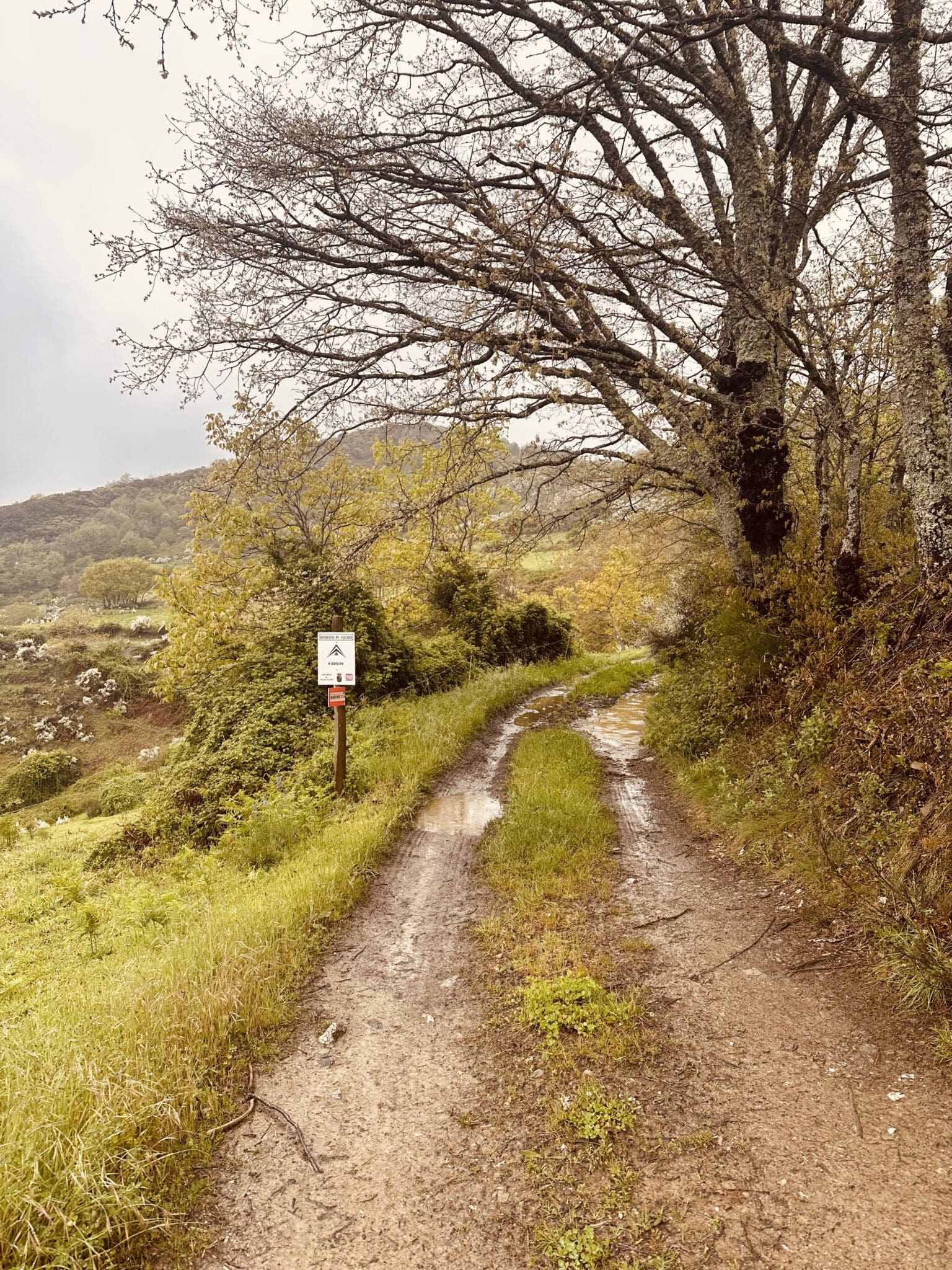
Unhook it, pass through, and make sure to re-hook it behind you. From here, descend through the forest and along an old cow path into Las Herrerías. The path doubles as a stream in places, and can be slippery and muddy in wet conditions, so watch your footing. On a hot summer’s day, though, the cool water underfoot is more than welcome.



Las Herrerias
26.4 km / 16.4 mi
Congratulations, you made it, you’ve finally reached Las Herrerías. Most people call it a day here, arriving completely exhausted but brimming with pride and no small amount of relief.
For more information, visit the Friends of the Dragonte Facebook group, an active and helpful community.



Thanks, this is really handy.
It was an immense pleasure to meet you, Gerard, this May (2025), immediately before and just after you had once again walked the Dragonte Route.
I walked the route in 2015 and it was wonderful to gain new, fresh insights from you into this route.
Over the years, I have walked the stretch to O Cebreiro (and beyond) thirteen times – the Road Route and “Green Route” six times each, but Dragonte just once. You have perhaps inspired me to walk it once again!
Thank you for this brilliant information source for the Dragonte Route.
hello
This is such a helpful set of instructions, thank you so much.
We are planning to walk this route, but would really like a good old fashioned map to take with us – please can anyone recommend what to buy and where from?
Many thanks
Anne
For me, the most memorable part was the submerged trail at the bottom of the valley. It took me 30 minutes to figure out that the stream is the camino.
Me too Dan. I spent ages trying to find some kind of path, until I realised the stream itself is the path.